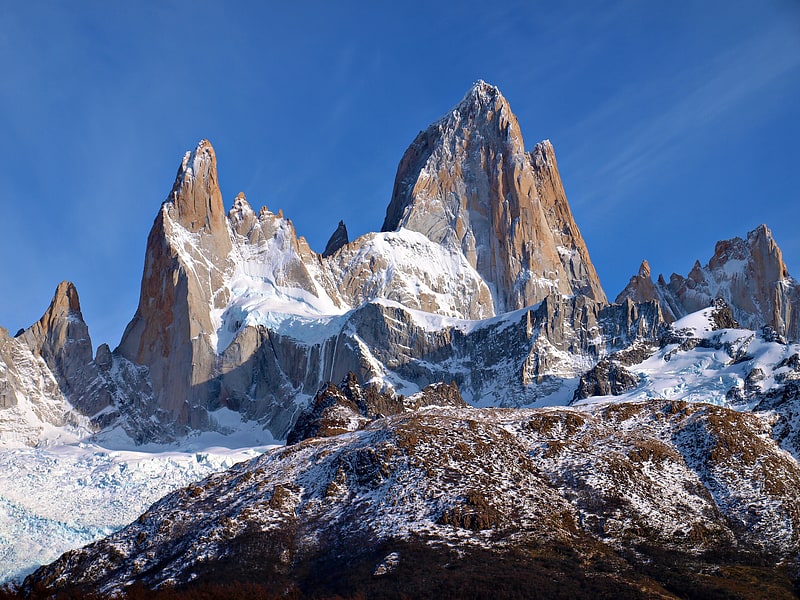
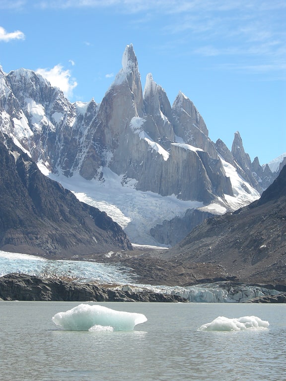
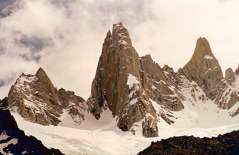
Laguna Torre, El Chalten
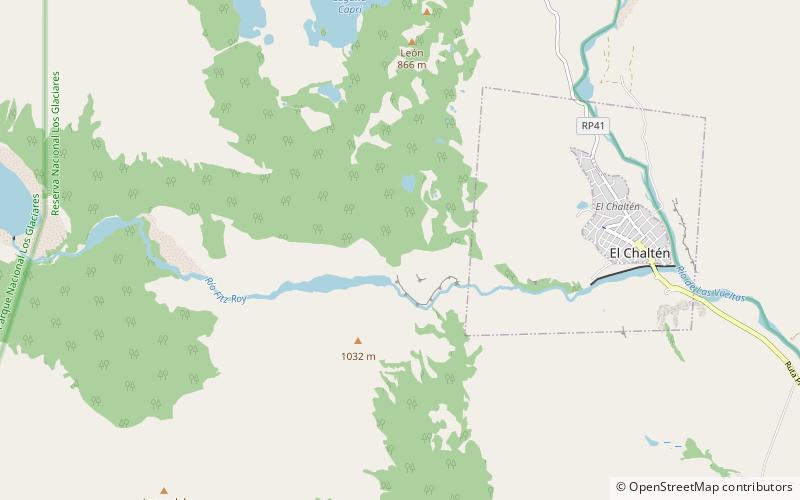
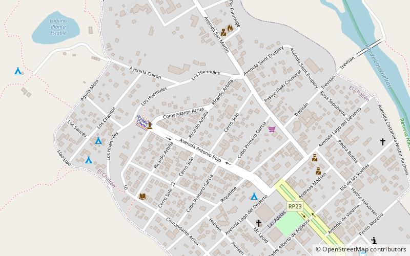
Map
Facts and practical information
Laguna Torre (address: Parque Nacional Los Glaciares) is a place located in El Chalten (Santa Cruz province) and belongs to the category of hiking, nature and wildlife, body of water.
It is situated at an altitude of 1995 feet, and its geographical coordinates are 49°19'57"S latitude and 72°55'38"W longitude.
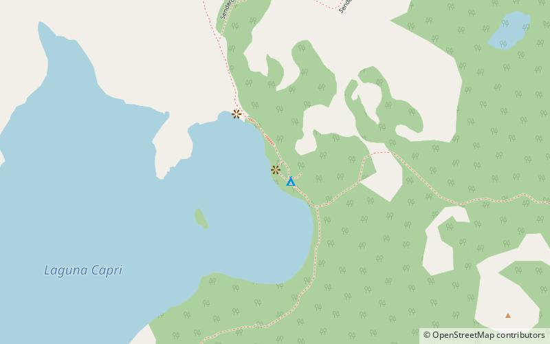
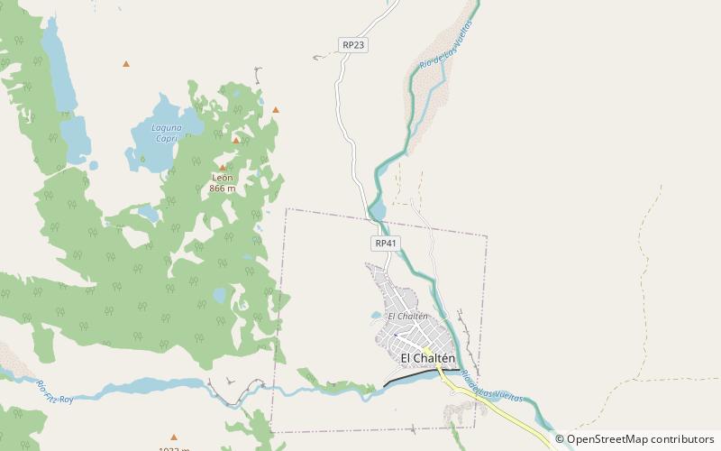
Among other places and attractions worth visiting in the area are: Mirador Río de las Vueltas (view point, 44 min walk), Laguna de los Tres (hiking, 44 min walk), Laguna Capri (body of water, 53 min walk).
Elevation: 1995 ft a.s.l.Coordinates: 49°19'57"S, 72°55'38"W
Day trips