Floresta, Buenos Aires
Map
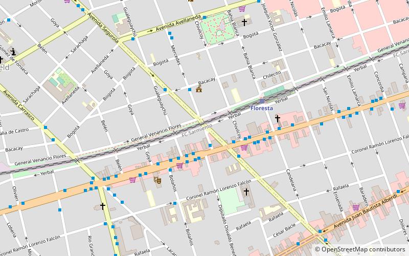
Map

Facts and practical information
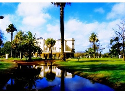
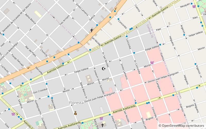
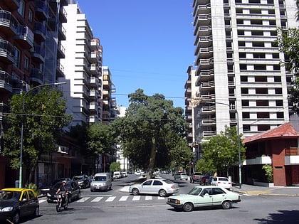
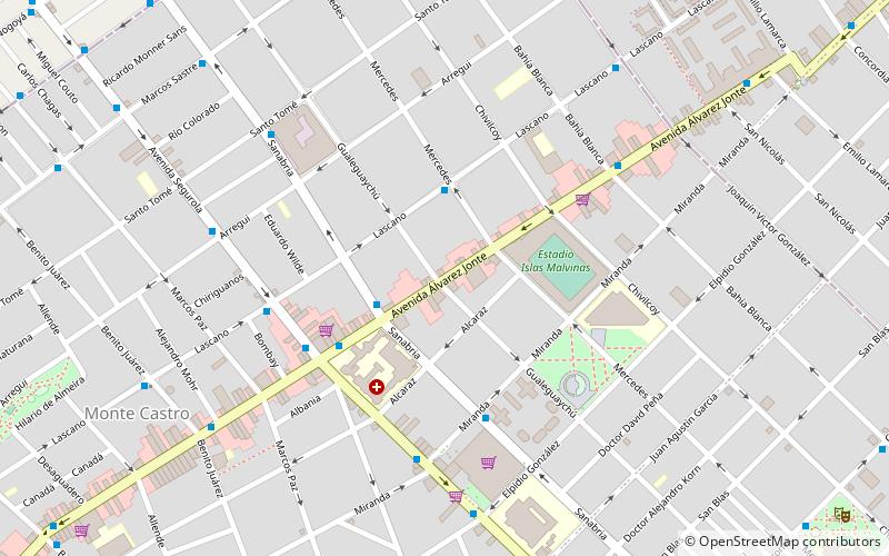
Floresta is a neighbourhood located to the west of Buenos Aires. The district developed and was named after Buenos Aires Western Railway's first terminal station's area called La Floresta, in 1857. ()
Address
Comuna 10 (Vélez Sársfield)Buenos Aires
ContactAdd
Social media
Add
Day trips
Floresta – popular in the area (distance from the attraction)
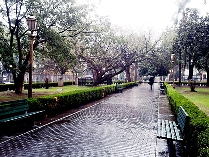
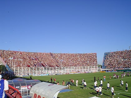
Nearby attractions include: Avellaneda Park, At-Tauhid Mosque, Plaza Pueyrredón, Estadio Islas Malvinas.
Frequently Asked Questions (FAQ)
Which popular attractions are close to Floresta?
Nearby attractions include Vélez Sársfield, Buenos Aires (1 min walk), At-Tauhid Mosque, Buenos Aires (14 min walk), Parque Avellaneda, Buenos Aires (21 min walk), Avellaneda Park, Buenos Aires (22 min walk).
How to get to Floresta by public transport?
The nearest stations to Floresta:
Bus
Train
Metro
Bus
- Mercedes y Rivadavia • Lines: 114 (2 min walk)
- Rivadavia y Gualeguaychú • Lines: 63P, 63R, 8, 92 (2 min walk)
Train
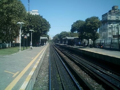
- Floresta (4 min walk)
- Flores (27 min walk)
Metro
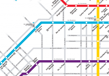
- San Pedrito • Lines: A (19 min walk)
- San José de Flores • Lines: A (30 min walk)
 Metro
Metro