Avellaneda Park, Buenos Aires
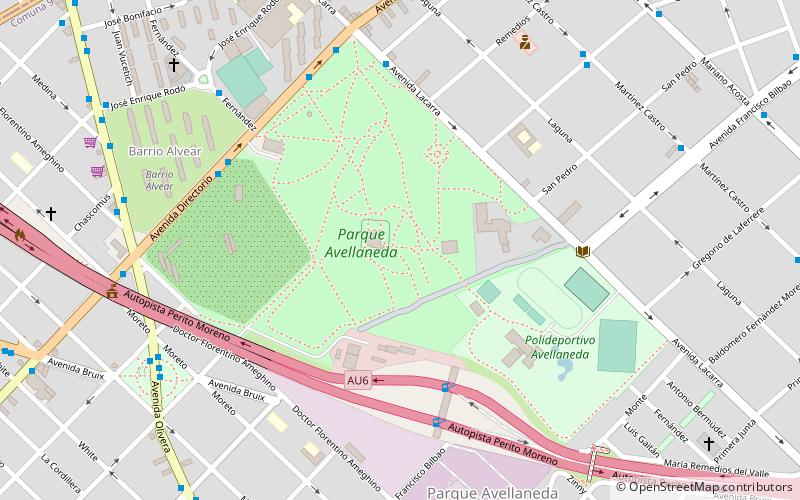
Map
Gallery
Facts and practical information
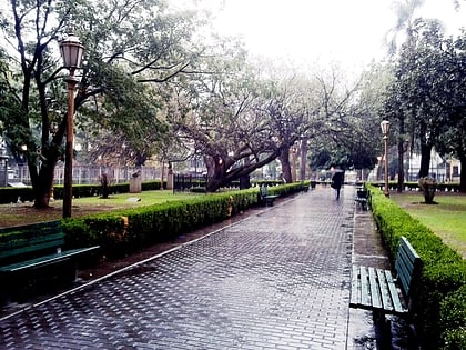
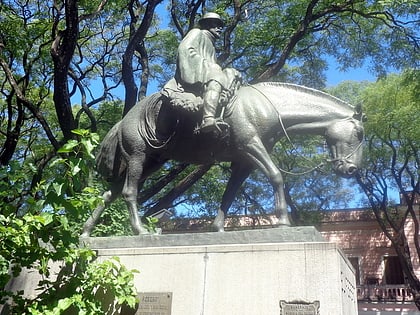
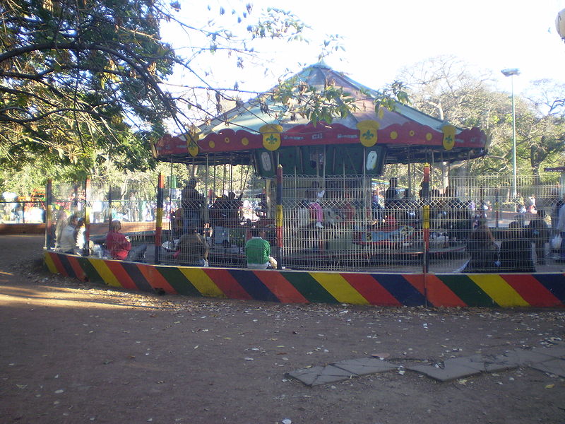
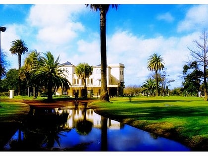
Avellaneda Park is a public park in Buenos Aires, Argentina. It is located at the heart of the Parque Avellaneda neighbourhood, which takes its name from the park. ()
Day trips
Avellaneda Park – popular in the area (distance from the attraction)
Nearby attractions include: Plaza Pueyrredón, Plazoleta El Resero, Flores, Villa Luro.
Frequently Asked Questions (FAQ)
Which popular attractions are close to Avellaneda Park?
Nearby attractions include Parque Avellaneda, Buenos Aires (2 min walk), Vélez Sársfield, Buenos Aires (22 min walk), Floresta, Buenos Aires (22 min walk).
How to get to Avellaneda Park by public transport?
The nearest stations to Avellaneda Park:
Bus
Train
Tram
Metro
Bus
- Paque Avellaneda • Lines: 126T, 126V, 180B, 180C, 180E, 180F, 180x155, 180x155n, 4, 4D, 55, 7P, 88Al, 88Am (7 min walk)
- Vivero Municipal - Bº Alvear • Lines: 126T, 126V, 180B, 180C, 180x155, 180x155n, 4, 4D, 55, 7P, 88Al, 88Am (7 min walk)
Train
- Floresta (23 min walk)
Tram
- Intendente Saguier • Lines: P (26 min walk)
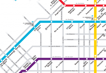
Metro
- Plaza de los Virreyes - Eva Perón • Lines: E (26 min walk)
- San Pedrito • Lines: A (28 min walk)
 Metro
Metro