Vardenis
Map
Gallery
Facts and practical information
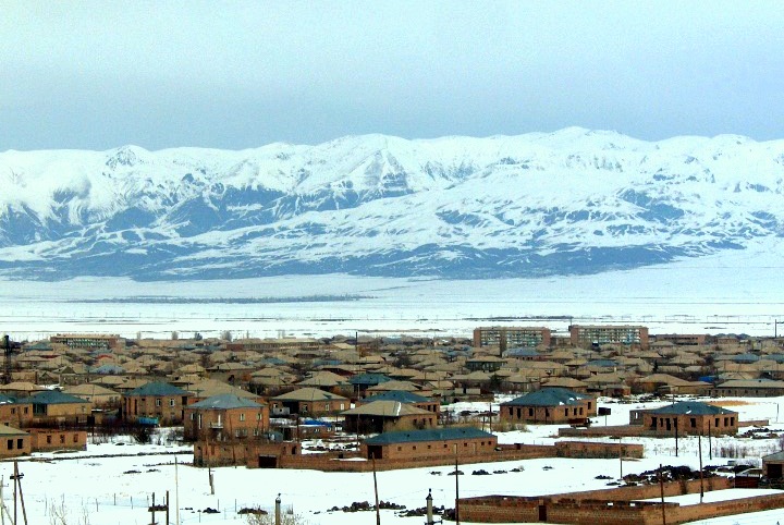
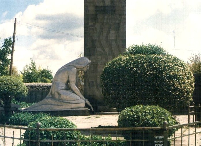
Vardenis is a town and urban municipal community in the southeastern part of the Gegharkunik Province of Armenia. It is located in the valley of the Masrik River, on the territory of the Masrik artesian basin at 2,006 metres above sea level, near the southeastern shores of Lake Sevan. It is 170 kilometres by road east of the capital Yerevan, and 75 kilometres southeast of the provincial centre Gavar. The administrative territory of Vardenis comprises 3,006 hectares, of which 736 hectares is occupied by the town itself. Vardenis obtained its status as an urban settlement in 1995. ()
Local name: Վարդենիս Founded: 1830 (196 years ago)Population: 11.4 thous.Area: 3.29 mi²Coordinates: 40°10'50"N, 45°43'42"E
Location
Gegharkunik
ContactAdd
Social media
Add


