Lake Kari, Byurakan
Gallery (2)
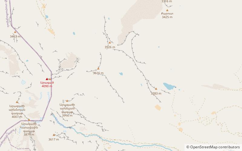
Map
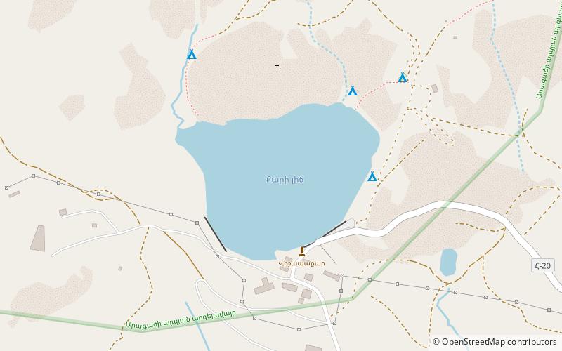
Map
Gallery
Facts and practical information
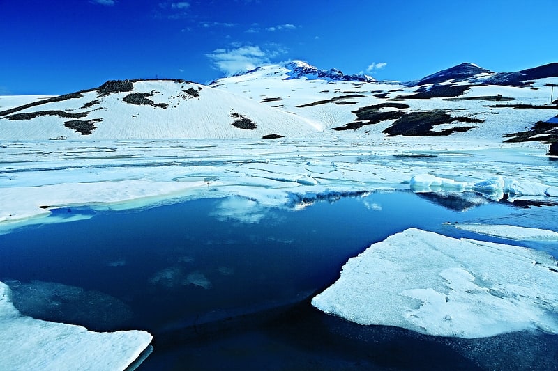
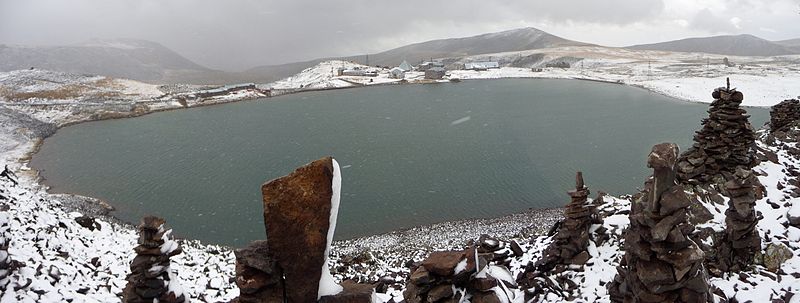
Lake Kari is a lake in Armenia located on the slopes of Mount Aragats. Most of its water comes from ice and snow. It is located 3,185 m above the sea level and has a perimeter of 1,150 m. From Byurakan village an asphalt automobile road stretches towards the source of Arkashen River, the lake Kari, located on a plateau below the peaks. On the eastern side of the lake there is a meteorological station. ()
Local name: Քարի լիճ Area: 74.13 acres (0.1158 mi²)Elevation: 10476 ft a.s.l.Coordinates: 40°28'27"N, 44°10'53"E
Address
Byurakan
ContactAdd
Social media
Add
Day trips