Mount Aragats
Facts and practical information
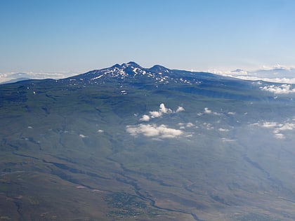
Mount Aragats, Armenia's tallest peak, stands as a testament to the country's volcanic past. This dormant stratovolcano, located in the northwest of Armenia, reaches an elevation of 4,090 meters, dominating the skyline with its snow-capped summit. The mountain is a prominent feature of the Armenian Highlands and is often shrouded in folklore and mystery.
The massif of Mount Aragats encompasses four summits, with the northern one being the highest. These peaks encircle a vast volcanic crater, which has a depth of 400 meters, and is a striking testament to the mountain's explosive history. The slopes of Aragats are a patchwork of alpine meadows and rocky outcrops, providing diverse habitats for a variety of flora and fauna.
As a popular destination for climbers and hikers, Mount Aragats offers a range of trails with varying degrees of difficulty. The ascent to the summit is challenging yet rewarding, with panoramic views that encompass the Armenian plateau, the sparkling waters of Lake Sevan, and even the silhouette of Mount Ararat on a clear day.
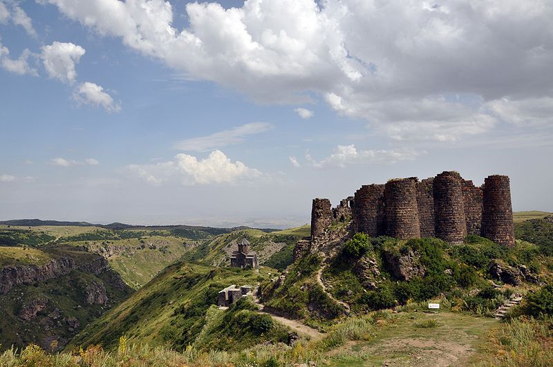
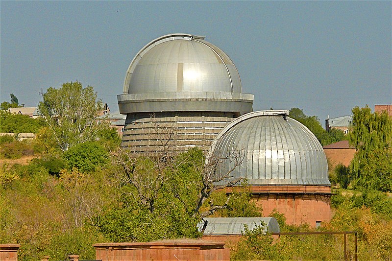
The mountain also holds significant cultural importance. At its base lies the 7th-century Amberd Fortress, and nearby is the Byurakan Observatory, a center for astronomical research. The slopes of Aragats have inspired countless Armenian poets, artists, and musicians, contributing to the cultural tapestry of the nation.
Mount Aragats – popular in the area (distance from the attraction)
Nearby attractions include: Lake Kari, Lesser Caucasus, Lake Lessing.


