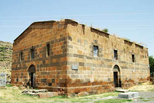
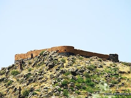
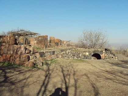
Kosh fortress and churches
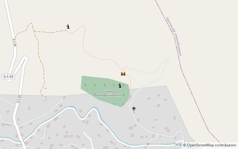
Map

Gallery

Facts and practical information
The village of Kosh is in the Ashtarak district, about 18 kilometres south-west of the district centre. There are numerous remains from early Iron Age residential ruins and buildings of large basalt stone blocks. There is information referring to Kosh in Armenian scripts from the 4th century. ()
Coordinates: 40°18'26"N, 44°9'34"E
Location
Aragatsotn
ContactAdd
Social media
Add
Day trips
Kosh fortress and churches – popular in the area (distance from the attraction)
Nearby attractions include: Vahramashen Church, Tegher Monastery, Aruchavank, Arshakid Mausoleum.


