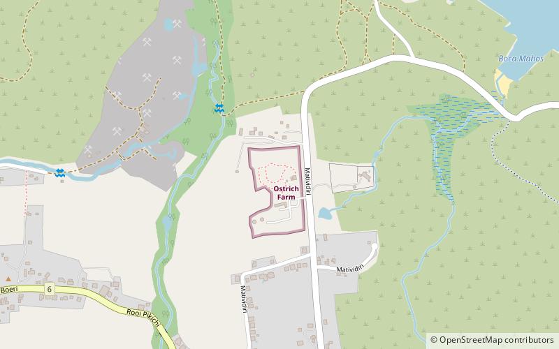
Ostrich Farm, Oranjestad
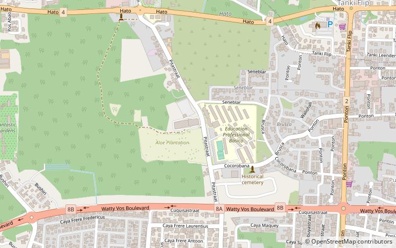
Map
Facts and practical information
Ostrich Farm (address: Matividiri 57) is a place located in Oranjestad and belongs to the category of farm, nature and wildlife, park.
It is situated at an altitude of 85 feet, and its geographical coordinates are 12°32'50"N latitude and 69°58'42"W longitude.
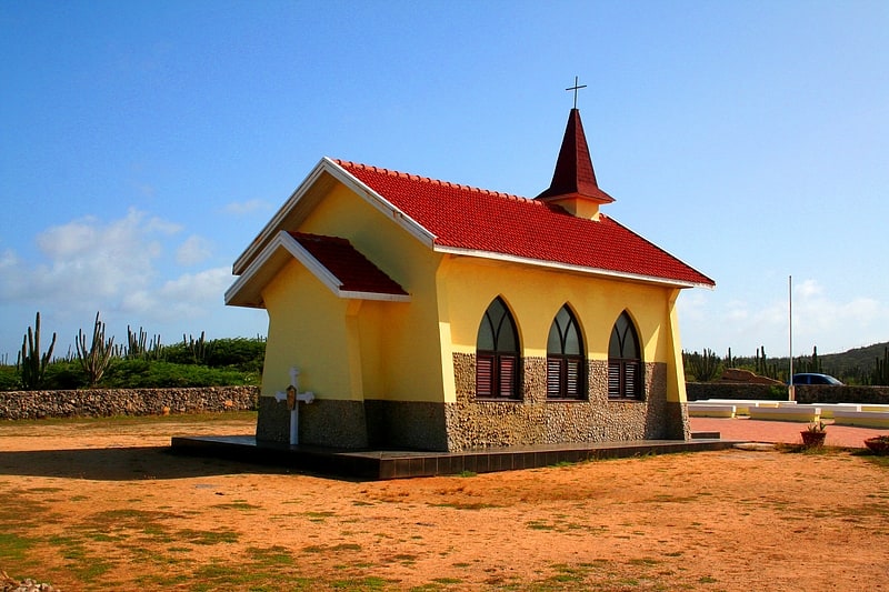
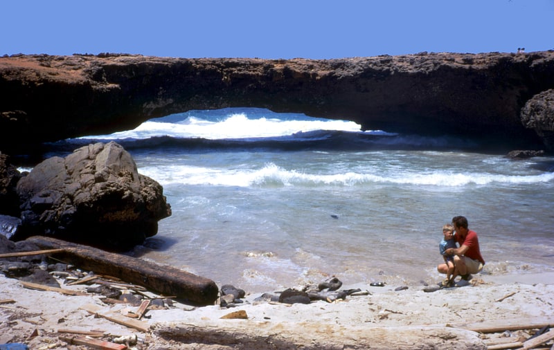
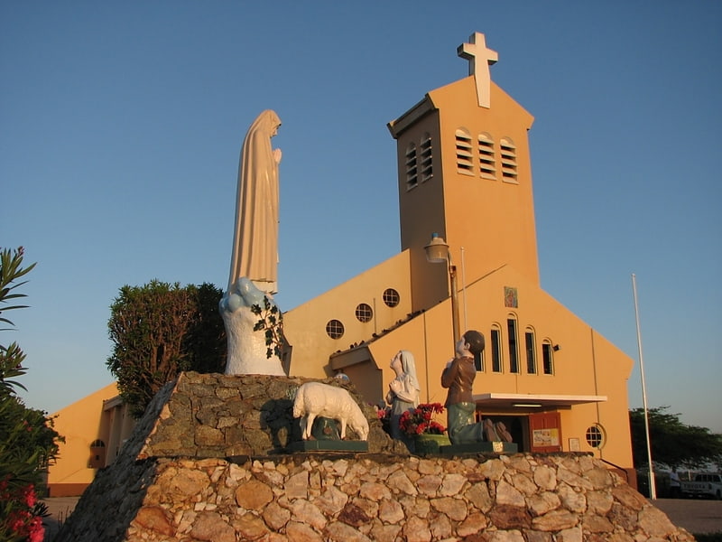
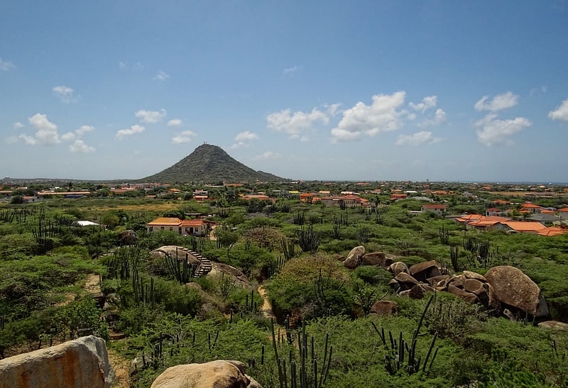
Among other places and attractions worth visiting in the area are: Bushiribana Gold Ruins (historical place, 13 min walk), Aruba Natural Bridge, Santa Cruz (geologic formation, 37 min walk), Casibari Rock Formations, Paradera (geologic formation, 43 min walk).
Elevation: 85 ft a.s.l.Coordinates: 12°32'50"N, 69°58'42"W
Day trips