Trek Zone

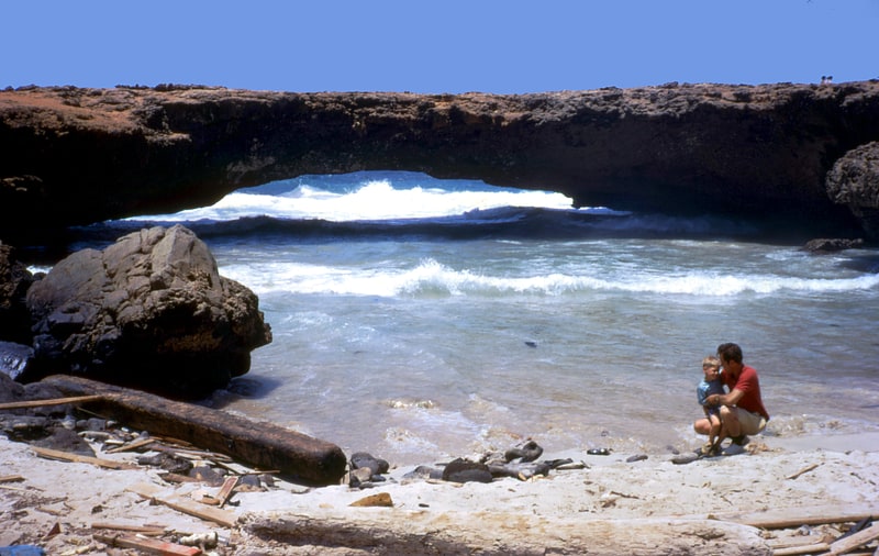
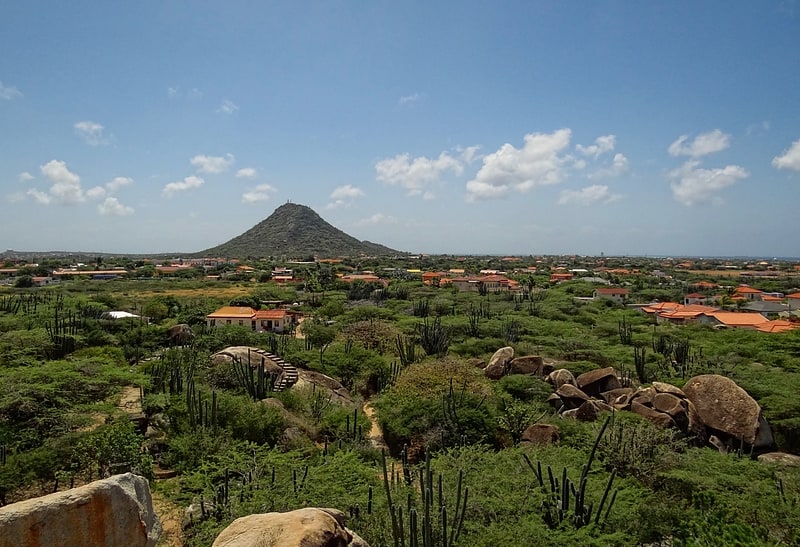
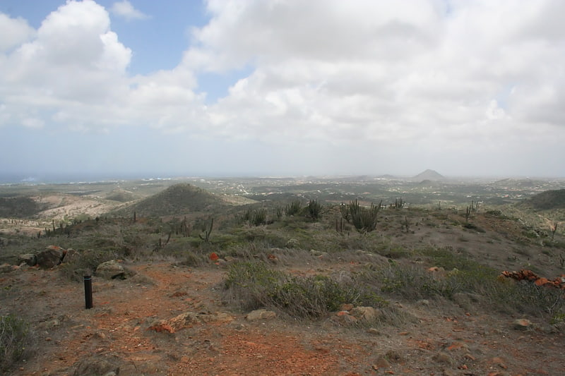
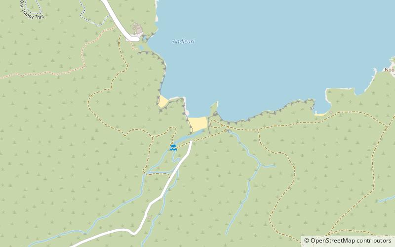
Andicuri Beach, Santa Cruz
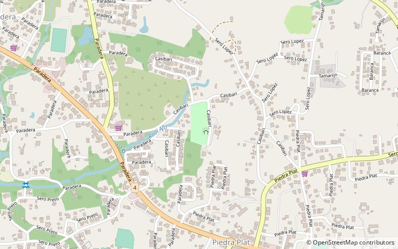
#2 among attractions in Santa Cruz

Beach, Park, Outdoor activities
Andicuri Beach location map
Map

Facts and practical information

Andicuri Beach is a place located in Santa Cruz and belongs to the category of beach, park, outdoor activities.

It is situated at an altitude of 0 feet, and its geographical coordinates are 12°32'15"N latitude and 69°57'21"W longitude.

Among other places and attractions worth visiting in the area are: Aruba Natural Bridge (geologic formation, 8 min walk), Boca Keto (beach, 41 min walk), Ostrich Farm, Oranjestad (farm, 43 min walk).

Elevation: 0 ft a.s.l.Coordinates: 12°32'15"N, 69°57'21"W
AddressAdd
ContactAdd
Social media
Add
Day trips

Andicuri Beach – popular in the area (distance from the attraction)

Nearby attractions include: Alto Vista Chapel, Casibari Rock Formations, Aruba Natural Bridge, St. Philomena's Church.

  • alto vista chapel noord4.6 miNW
  • casibari rock formations paradera location map
    2.8 miW
  • aruba natural bridge santa cruz~1580 ftNW
  • st philomenas church paradera3.3 miW
  • hooiberg oranjestad3 miSW
  • mount jamanota santa cruz3.6 miS
  • donkey sanctuary location map
    3.4 miS
  • arikok national park location map
    2.7 miS
  • natural pool2 miSE
  • fontein cave location map
    4.5 miSE
  • museo di antiguedad aruba eagle beach location map
    3.9 miW

Where to next? Explore all the interesting places and tourist attractions in Aruba.