Macquarie Pass, Macquarie Pass National Park
Map

Map

Facts and practical information
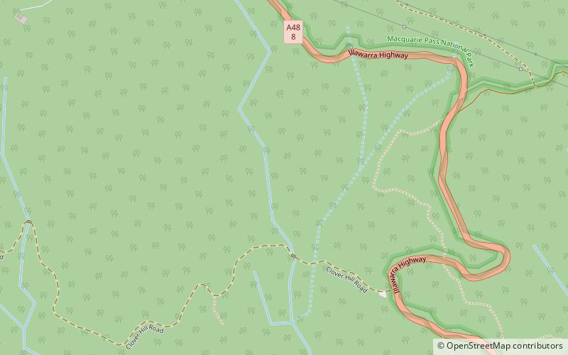
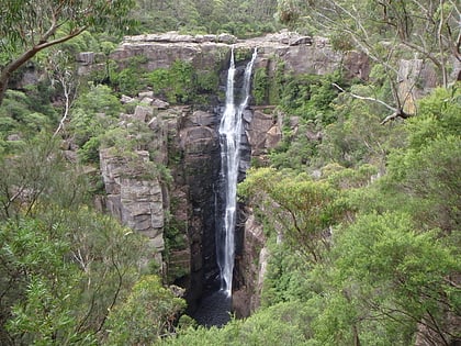
Macquarie Pass is an eight-kilometre-long section of the Illawarra Highway passing through Macquarie Pass National Park. It was opened in 1898, though had been used by the Wodi Wodi tribe. ()
Coordinates: 34°33'46"S, 150°39'32"E
Address
Macquarie Pass National Park
ContactAdd
Social media
Add
Day trips
Macquarie Pass – popular in the area (distance from the attraction)
Nearby attractions include: Carrington Falls, Illawarra escarpment, Robertson Nature Reserve.


