Illawarra escarpment
Map

Gallery

Facts and practical information
The Illawarra escarpment, or officially the Illawarra Range, is the fold-created cliffs and plateau-eroded outcrop mountain range west of the Illawarra coastal plain south of Sydney, in the state of New South Wales, Australia. The range encloses the Illawarra region which stretches from Stanwell Park in the north to Kiama, Gerringong and the Shoalhaven River in the south. ()
Maximum elevation: 301837 ftElevation: 2635 ftCoordinates: 34°37'0"S, 150°36'0"E
Location
New South Wales
ContactAdd
Social media
Add
Day trips
Illawarra escarpment – popular in the area (distance from the attraction)
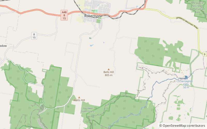
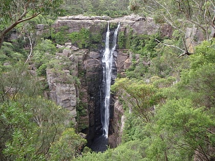
Nearby attractions include: Belmore Falls, Carrington Falls, Robertson Nature Reserve, Flying Fox Pass.


