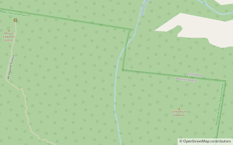
Mount Edwards, Moogerah Peaks National Park
Map

Map

Facts and practical information
Mount Edwards is a mountain in South East Queensland, Australia. The mountain rises 634 metres above sea level and is part of the Moogerah Peaks National Park. It lies within its namesake locality Mount Edwards, approximately 100 km south west of Brisbane approximately 17 km from the town of Boonah. The mountain is the closest of the Moogerah Peaks to the Cunningham Highway and is 9 km south of Aratula. Other prominent peaks in this Scenic Rim group of mountains includes Mount French, Mount Moon and Mount Greville. ()
Elevation: 2080 ftCoordinates: 28°0'59"S, 152°33'0"E
Address
Moogerah Peaks National Park
ContactAdd
Social media
Add
Day trips
Mount Edwards – popular in the area (distance from the attraction)
Nearby attractions include: Moogerah Dam, Frog Buttress, Mount Greville, Wiss Brothers Store.


