Moogerah Dam
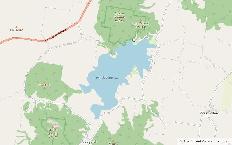
Map

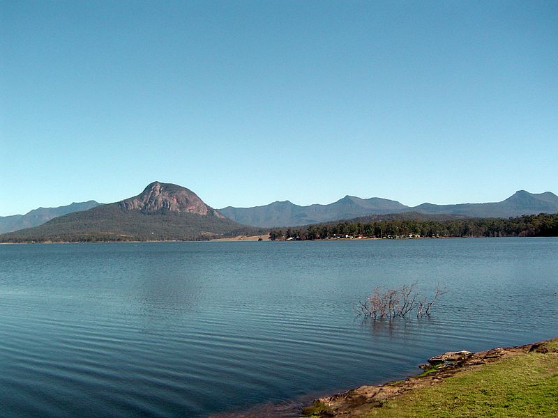
Gallery

Facts and practical information
The Moogerah Dam is a mass concrete double curvature arch dam with an un-gated spillway across the Reynolds Creek that is located in the South East region of Queensland, Australia. The main purposes of the dam are for irrigation of the Reynolds Creek and for supply of potable water to Warrill Creek and farmers in the Warrill Valley. The impounded reservoir is called Lake Moogerah. ()
Opened: 1961 (65 years ago)Length: 719 ftHeight: 125 ftReservoir area: 3.19 mi²Coordinates: 28°2'46"S, 152°32'24"E
Day trips
Moogerah Dam – popular in the area (distance from the attraction)
Nearby attractions include: Frog Buttress, Mount Greville, Mount Moon, Mount Edwards.


