Rosalind Park, Bendigo
Map
Gallery
Facts and practical information
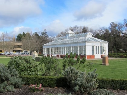
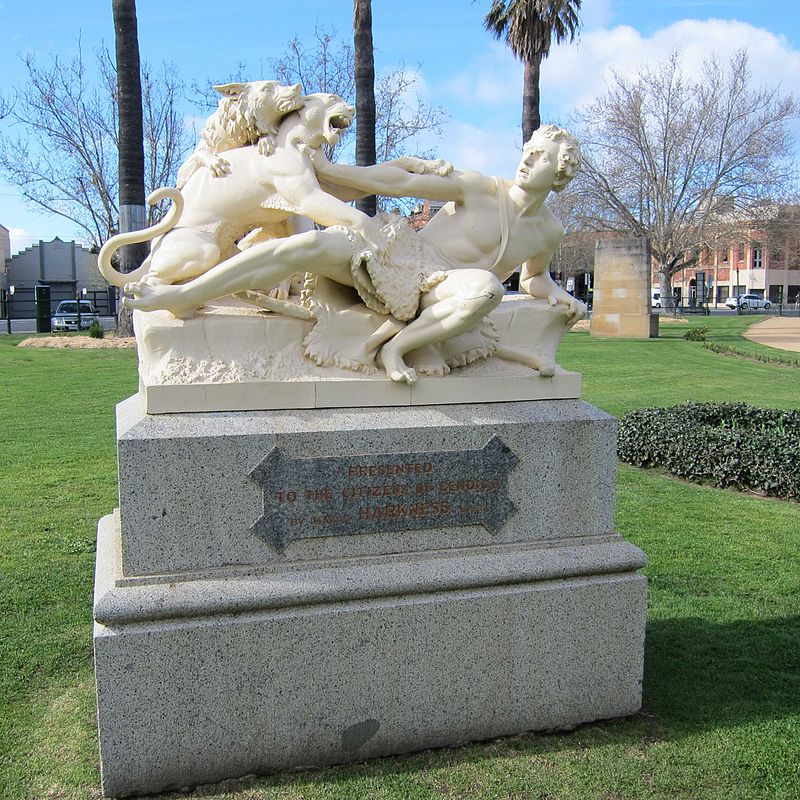
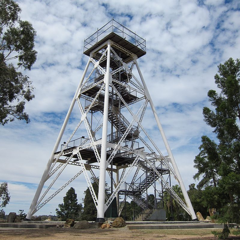
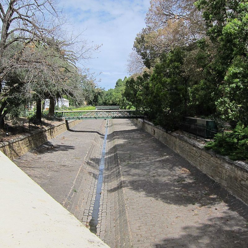
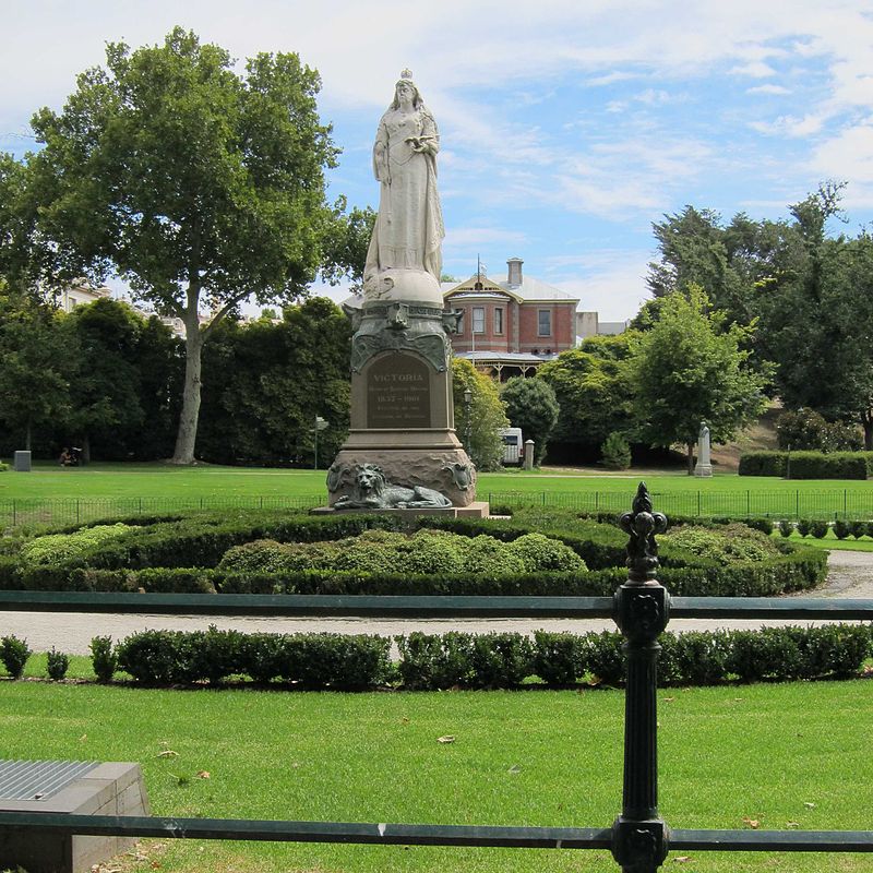
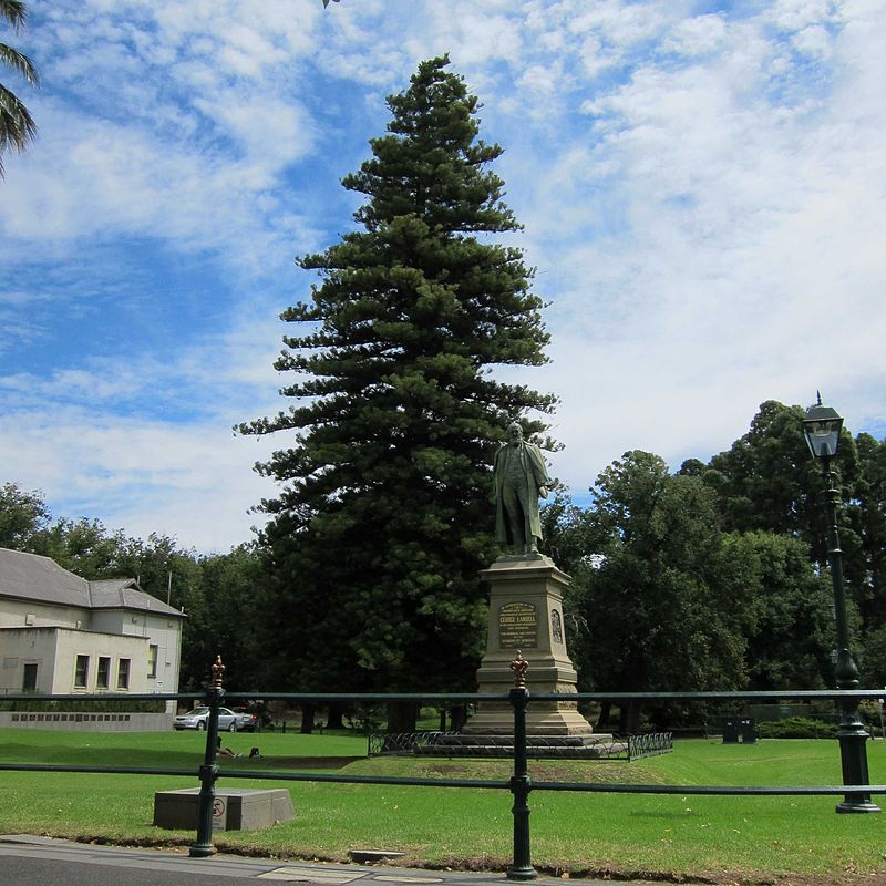
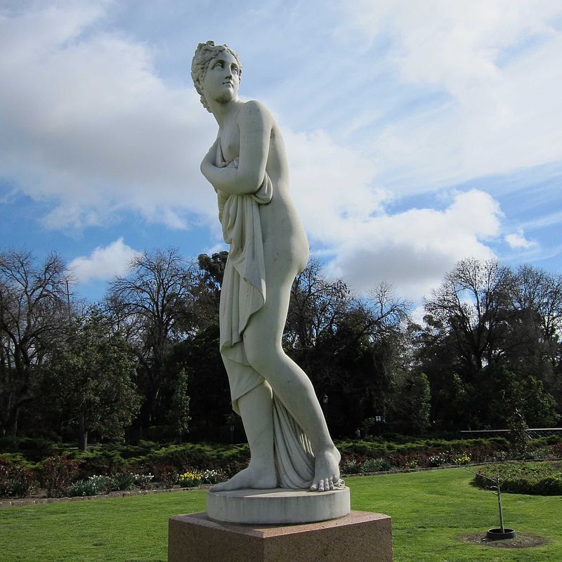
Rosalind Park is an Australian park in Bendigo, Victoria. Prior to white settlement, a grassy woodland surrounding what is now called Bendigo Creek. At that time the creek was little more than a chain of pools and billabongs. This area would have been an important source of food and water for the indigenous Dja Dja Wrung people living in dry central Victoria. ()
Opened: 1870 (156 years ago)Elevation: 748 ft a.s.l.Coordinates: 36°45'26"S, 144°16'44"E
Day trips
Rosalind Park – popular in the area (distance from the attraction)
Nearby attractions include: Sacred Heart Cathedral, Central Deborah Gold Mine, Golden Dragon Museum, Bendigo Art Gallery.
Frequently Asked Questions (FAQ)
Which popular attractions are close to Rosalind Park?
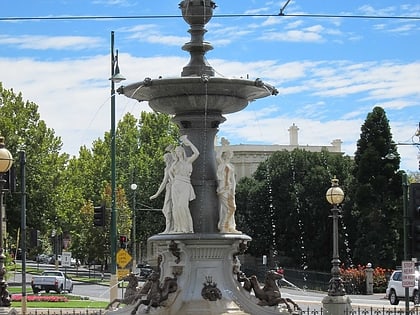
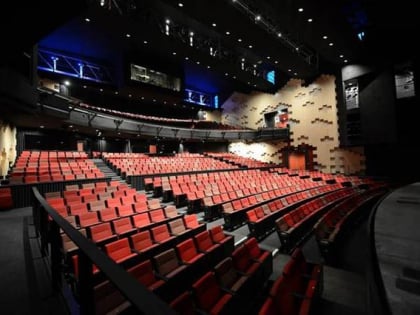
Nearby attractions include Bendigo Art Gallery, Bendigo (3 min walk), Capital Theatre, Bendigo (4 min walk), Alexandra Fountain, Bendigo (5 min walk), Ulumbarra Theatre Bendigo, Bendigo (6 min walk).
How to get to Rosalind Park by public transport?
The nearest stations to Rosalind Park:
Tram
Bus
Train
Tram
- Stop 2: Charing Cross • Lines: Bendigo Vintage Talking Tram Tour (5 min walk)
- Stop 1: Central Deborah Gold Mine • Lines: Bendigo Vintage Talking Tram Tour (20 min walk)
Bus
- Rowan St/View St • Lines: 53 (6 min walk)
- Mitchell St Central - Bay A/Mitchell St • Lines: 53 (6 min walk)
Train
- Bendigo (16 min walk)
