St Paul's Cathedral, Bendigo
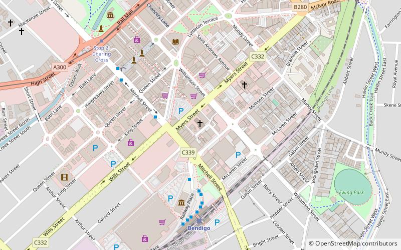
Map

Map

Facts and practical information
St Paul's Cathedral, Bendigo, is an Anglican cathedral in Australia. It is the cathedral church of the Diocese of Bendigo in central Victoria. ()
Coordinates: 36°45'44"S, 144°16'59"E
Address
Bendigo
ContactAdd
Social media
Add
Day trips
St Paul's Cathedral – popular in the area (distance from the attraction)
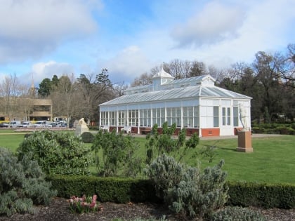
Nearby attractions include: Sacred Heart Cathedral, Rosalind Park, Central Deborah Gold Mine, Golden Dragon Museum.
Frequently Asked Questions (FAQ)
Which popular attractions are close to St Paul's Cathedral?
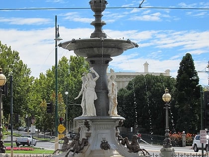
Nearby attractions include Bendigo Town Hall, Bendigo (7 min walk), Alexandra Fountain, Bendigo (9 min walk), Bendigo TAFE, Bendigo (10 min walk), Rosalind Park, Bendigo (11 min walk).
How to get to St Paul's Cathedral by public transport?
The nearest stations to St Paul's Cathedral:
Bus
Train
Tram
Bus
- Mitchell St Central - Bay B/Mitchell St • Lines: 53 (6 min walk)
- Bendigo Station • Lines: 53, Adelaide bus station => Bendigo, Bendigo railway station => Adela (7 min walk)
Train
- Bendigo (6 min walk)
Tram
- Stop 2: Charing Cross • Lines: Bendigo Vintage Talking Tram Tour (8 min walk)
- Stop 1: Central Deborah Gold Mine • Lines: Bendigo Vintage Talking Tram Tour (20 min walk)


