Melbourne Street, Adelaide
Map
Facts and practical information
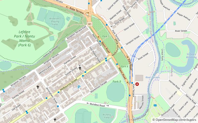
Melbourne Street is a street situated in the Adelaide suburb of North Adelaide, South Australia. It is the main commercial area of the second-largest of the three grids that comprise North Adelaide. It was named after William Lamb, 2nd Viscount Melbourne, who was British Prime Minister when the South Australia Foundation Act received parliamentary approval. ()
Coordinates: 34°54'19"S, 138°36'36"E
Getting there by public transportation
Public transportation stops near this location
- Bus
- Tram
- Train
 Bus
Bus
- Calculate routeStop 3 O Connell Street - West side 20 min walk
- Calculate routeStop 4 O Connell Street - West side 21 min walk
- Calculate routeStop 2 King William Road - West side 21 min walk
- Calculate routeStop 5 O Connell Street - West side 22 min walk
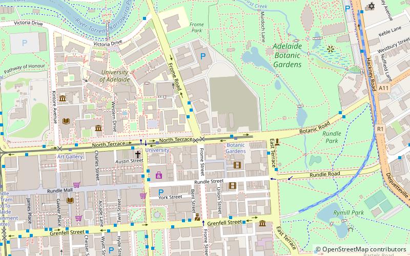
- Calculate routeBotanic Gardens 28 min walk
- Calculate routeUniversity 29 min walk
- Calculate routeArt Gallery 31 min walk
- Calculate routeAdelaide Railway Station Tram Stop 34 min walk
- Calculate routeAdelaide 34 min walk
Day trips


Frequently Asked Questions (FAQ)
Which popular attractions are close to Melbourne Street?
Nearby attractions include Park 10, Adelaide (10 min walk), TDRF Adelaide The David Roche Foundation House Museum, Adelaide (13 min walk), Adelaide Zoo, Adelaide (15 min walk), Brougham Place Uniting Church, Adelaide (15 min walk).
How to get to Melbourne Street by public transport?
The nearest stations to Melbourne Street:
Bus
Tram
Train
Bus
- Stop 3 O Connell Street - West side • Lines: 224, 224F, 224X (20 min walk)
- Stop 4 O Connell Street - West side • Lines: 224, 224F, 224X (21 min walk)
Tram
- Botanic Gardens (28 min walk)
- University (29 min walk)
Train
- Adelaide (34 min walk)