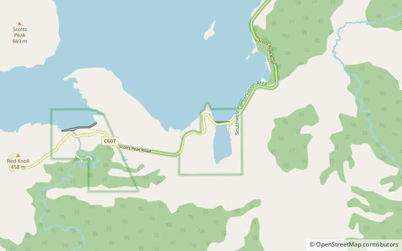
Scotts Peak, South West National Park
Map
Map

Facts and practical information
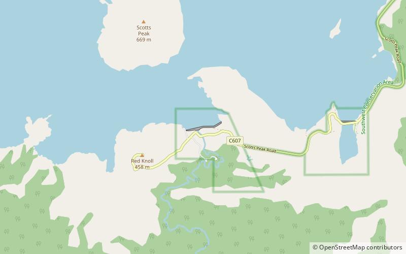
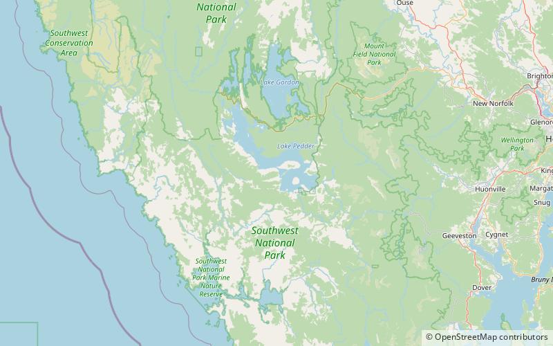
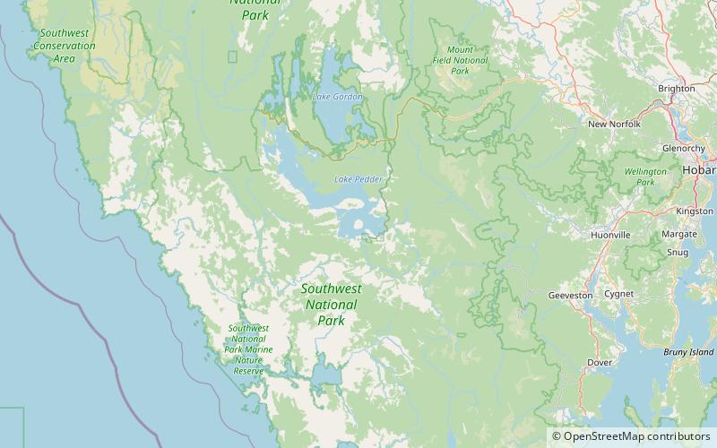
Scotts Peak is a mountain in South West Tasmania which is associated with the construction and flooding of the original Lake Pedder, as the lake now completely surrounds the peak. It lies east of the Frankland Range and has an elevation of 669 metres. ()
Address
South West National Park
ContactAdd
Social media
Add
Day trips
Scotts Peak – popular in the area (distance from the attraction)
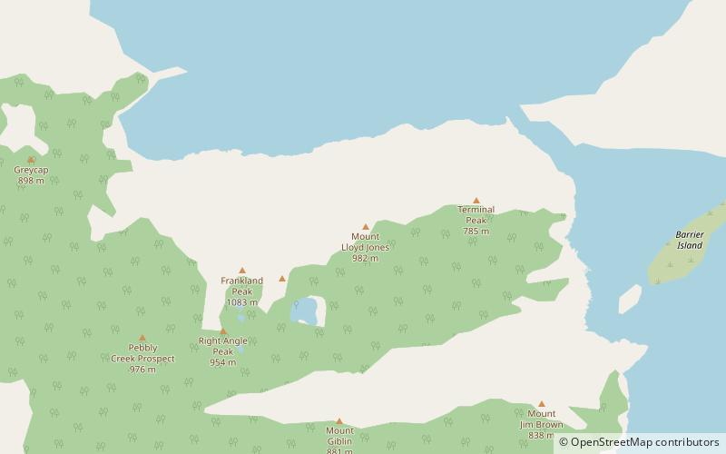
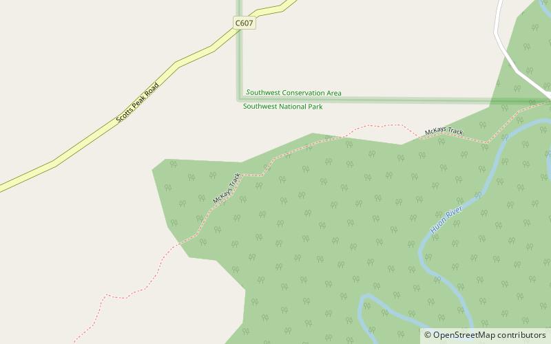
Nearby attractions include: Scotts Peak Dam, Mount Lloyd Jones, Port Davey Track, Terminal Peak.

