Port Davey Track, South West National Park
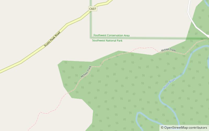
Map
Facts and practical information
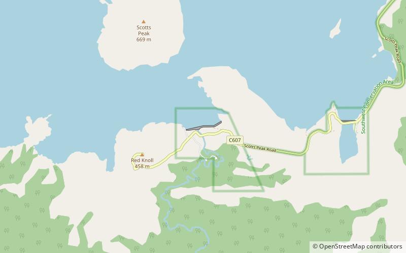
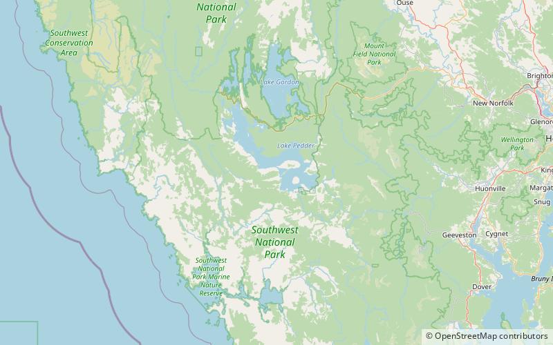
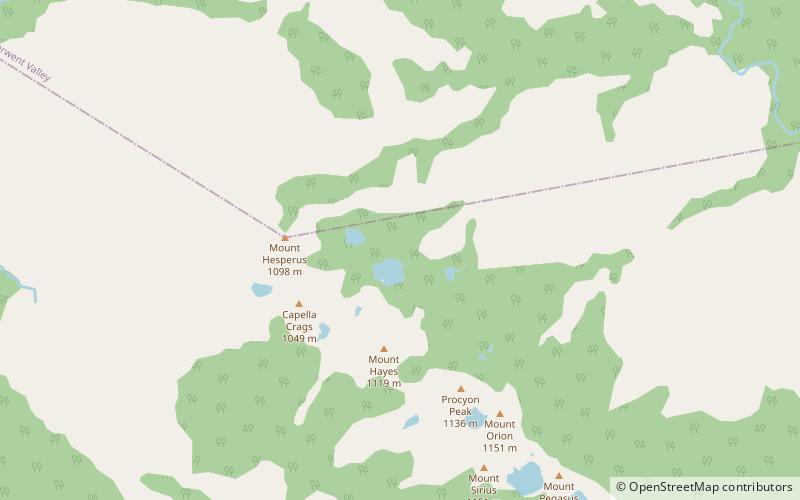
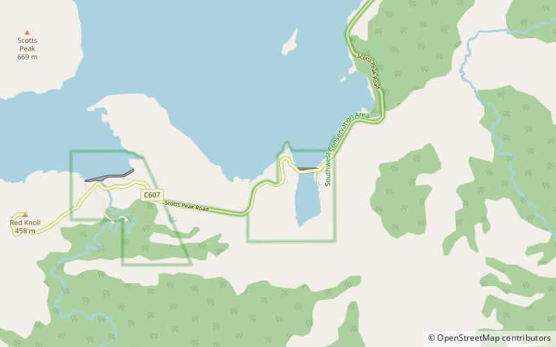
The Port Davey Track, officially the Old Port Davey Track, is a bushwalking track located in the south western region of Tasmania, Australia. The 70-kilometre track traverses remote wilderness within the Southwest National Park, part of the Tasmanian Wilderness World Heritage Site, and is managed as a wilderness walk. The Tasmanian Parks & Wildlife Service recommend that experienced bushwalkers can take four-to-five days to cover the track in one direction. ()
Length: 43.5 miCoordinates: 43°2'24"S, 146°17'24"E
Day trips
Port Davey Track – popular in the area (distance from the attraction)
Nearby attractions include: Scotts Peak, Scotts Peak Dam, Terminal Peak, Arthur Land District.

