Jervis Bay Marine Park, Jervis Bay
Map

Map

Facts and practical information
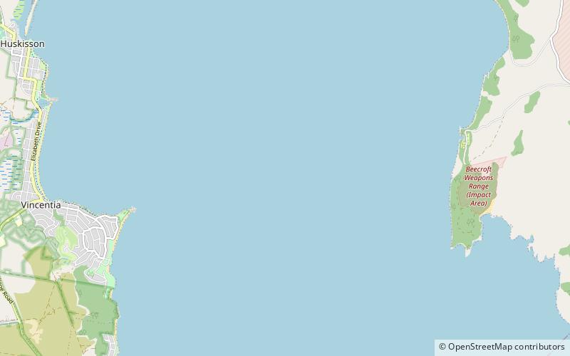
Jervis Bay Marine Park is a marine protected area established by the Government of New South Wales in 1998. and the current zoning plan has been in place since 1 October 2002. The marine park is approximately 210 km2 in area and spans over 100 km of coastline from Kinghorn Point in the north to Sussex Inlet. The marine park is zoned to conserve biological diversity in marine habitats and to provide a range of recreational and commercial activities. ()
Established: 1998 (28 years ago)Elevation: 0 ft a.s.l.Coordinates: 35°3'54"S, 150°44'2"E
Day trips
Jervis Bay Marine Park – popular in the area (distance from the attraction)
Nearby attractions include: Point Perpendicular Light, MV Lady Denman, Point Perpendicular, Jervis Bay Maritime Museum.


