Erowal Bay
Map

Map

Facts and practical information
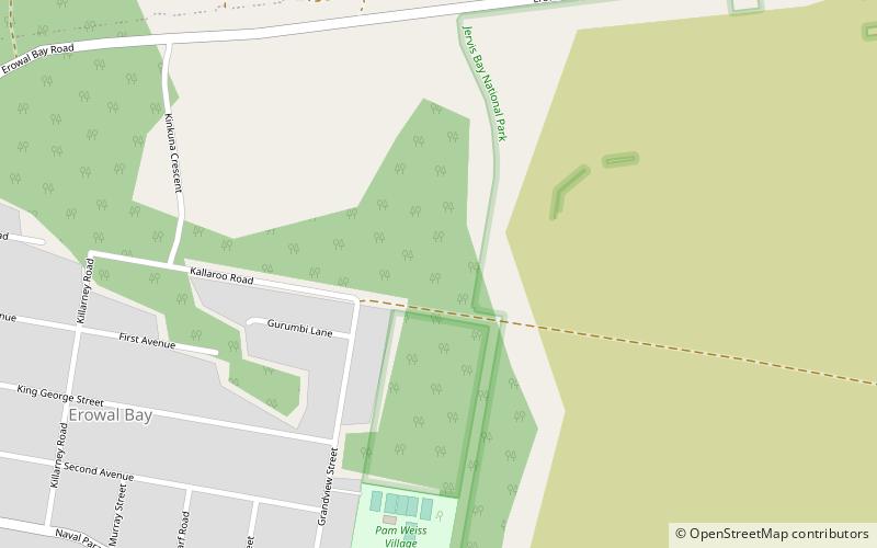
Erowal Bay is a small town in the Shoalhaven local government area on the New South Wales south coast, on the northern side of St Georges Basin. It lies west of Hyams Beach and east of Old Erowal Bay. At the 2016 census, Erowal Bay had a population of 623. ()
Population: ~590 pplCoordinates: 35°5'54"S, 150°39'41"E
Location
New South Wales
ContactAdd
Social media
Add
Day trips
Erowal Bay – popular in the area (distance from the attraction)
Nearby attractions include: MV Lady Denman, Jervis Bay Marine Park, Booderee National Park, Jervis Bay Maritime Museum.


