King Edward Park Air Raid Shelter, Brisbane
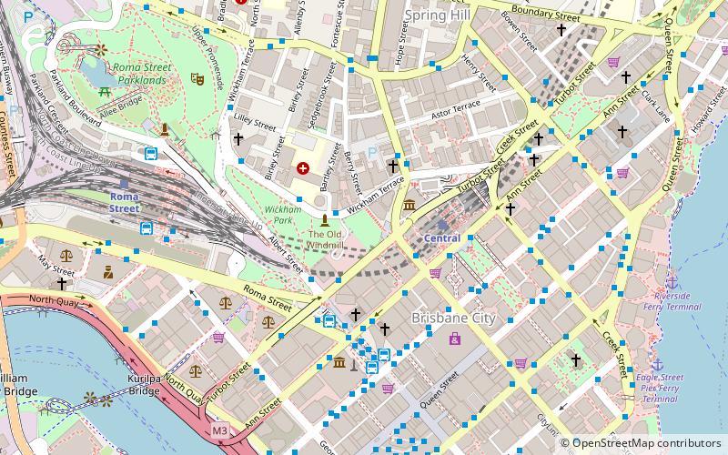
Map

Gallery

Facts and practical information
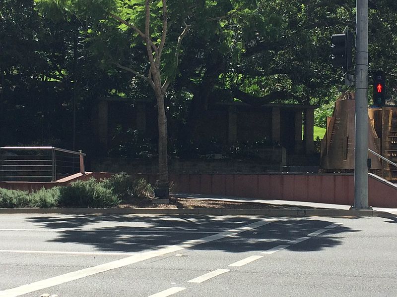
King Edward Park Air Raid Shelter is a heritage-listed former air raid shelter at 224 Turbot Street, Brisbane City, City of Brisbane, Queensland, Australia. It was designed by Frank Gibson Costello and built c. 1942 by Brisbane City Council. It was added to the Queensland Heritage Register on 6 April 2005. ()
Elevation: 144 ft a.s.l.Coordinates: 27°27'57"S, 153°1'26"E
Day trips
King Edward Park Air Raid Shelter – popular in the area (distance from the attraction)
Nearby attractions include: Queen Street Mall, QueensPlaza, The Myer Centre, Brisbane Arcade.
Frequently Asked Questions (FAQ)
Which popular attractions are close to King Edward Park Air Raid Shelter?
Nearby attractions include Jacob's Ladder, Brisbane (1 min walk), The Old Windmill, Brisbane (2 min walk), Museum of Lands, Brisbane (2 min walk), 160 Ann Street, Brisbane (3 min walk).
How to get to King Edward Park Air Raid Shelter by public transport?
The nearest stations to King Edward Park Air Raid Shelter:
Bus
Train
Ferry
Bus
- Edward Street Stop 141 near Ann St • Lines: 372, 470, P331 (3 min walk)
- Turbot Street Stop 3 near Albert St • Lines: 470 (3 min walk)
Train
- Central (3 min walk)
- Roma Street (9 min walk)
Ferry
- Eagle Street Pier Ferry Terminal • Lines: Chop-400, Xrvr-400 (12 min walk)
- North Quay 1 • Lines: Chop-400, Uqsl-1410 (13 min walk)


