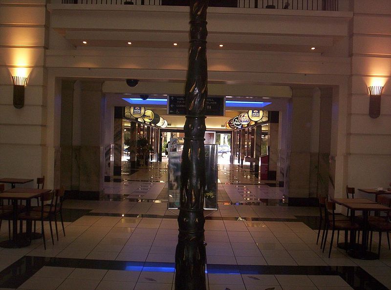
ANZAC Square Arcade, Brisbane

Gallery (7)
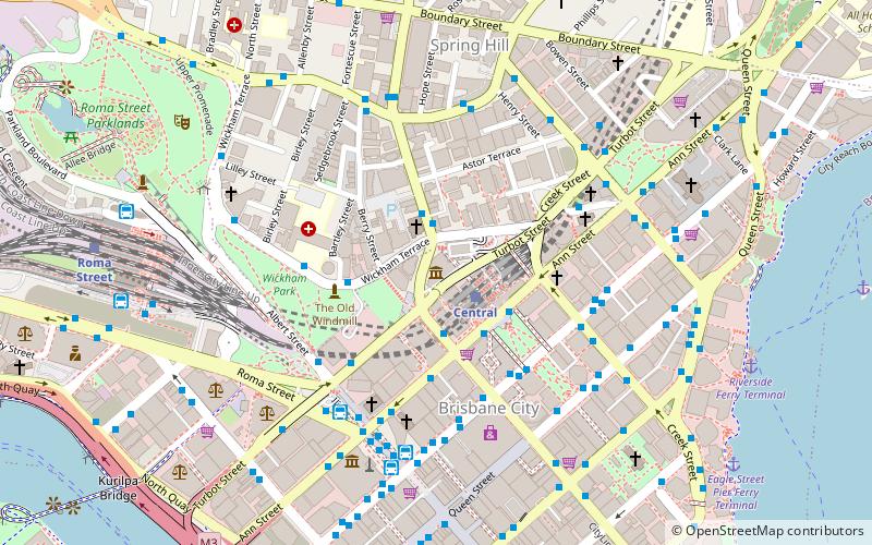
Map

Map

Gallery
Facts and practical information
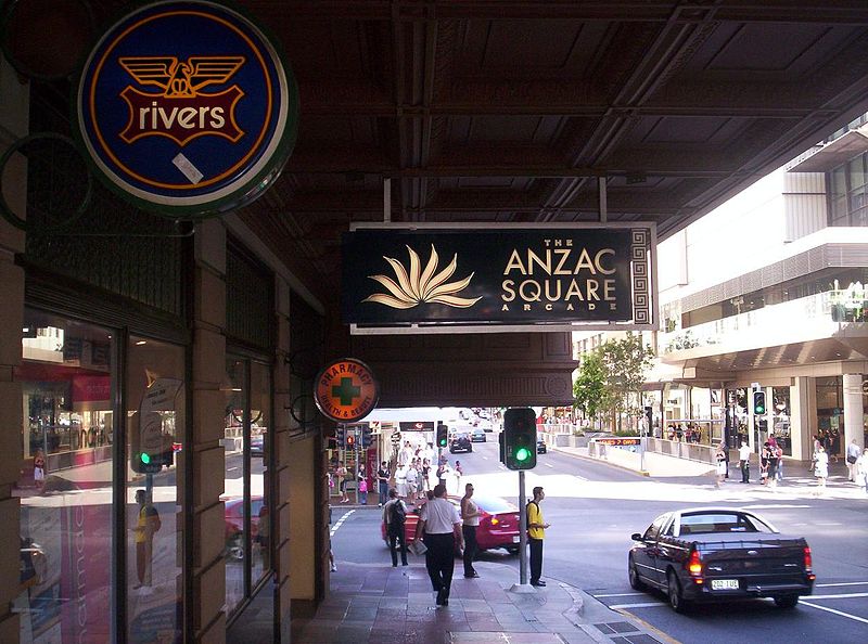
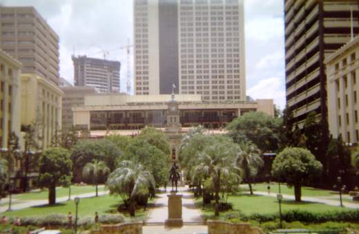
ANZAC Square Arcade is a shopping centre in Brisbane, Queensland, Australia. It is within the Anzac Square Building on the corner of Edward Street and Adelaide Street, adjacent to ANZAC Square from which it derives its name. The building is diagonally opposite QueensPlaza. ()
Coordinates: 27°28'1"S, 153°1'34"E
Address
Brisbane CityBrisbane
ContactAdd
Social media
Add
Getting there by public transportation
Public transportation stops near this location
- Bus
- Train
- Ferry
 Bus
Bus
- Calculate routeAdelaide Street Stop 24 near Edward St 2 min walk
- Calculate routeEdward Street Stop 141 near Ann St 2 min walk
- Calculate routeAnn Street stop 9 near King George Square 2 min walk
- Calculate routeCentral 3 min walk
- Calculate routeRoma Street 13 min walk
- Calculate routeFortitude Valley 24 min walk
- Calculate routeSouth Bank 27 min walk
- Calculate routeEagle Street Pier Ferry Terminal 9 min walk
- Calculate routeNorth Quay 1 12 min walk
- Calculate routeNorth Quay 2 12 min walk
- Calculate routeHolman Street Ferry Terminal 12 min walk
Day trips


Frequently Asked Questions (FAQ)
Which popular attractions are close to ANZAC Square Arcade?
Nearby attractions include Shrine of Remembrance, Brisbane (2 min walk), Adelaide Street, Brisbane (2 min walk), 180 Brisbane, Brisbane (2 min walk), Post Office Square, Brisbane (2 min walk).
How to get to ANZAC Square Arcade by public transport?
The nearest stations to ANZAC Square Arcade:
Bus
Train
Ferry
Bus
- Adelaide Street Stop 24 near Edward St • Lines: 204 (2 min walk)
- Edward Street Stop 141 near Ann St • Lines: 372, 470, P331 (2 min walk)
Train
- Central (3 min walk)
- Roma Street (13 min walk)
Ferry
- Eagle Street Pier Ferry Terminal • Lines: Chop-400, Xrvr-400 (9 min walk)
- North Quay 1 • Lines: Chop-400, Uqsl-1410 (12 min walk)