Mount Tennent
Map
Map

Facts and practical information
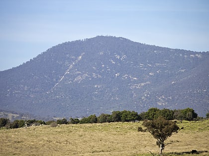
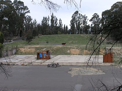
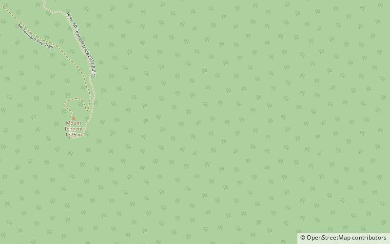
Mount Tennent is a mountain with an elevation of 1,375 metres AHD in the southern part of the Australian Capital Territory in Australia. The Gudgenby River flows at the base of the mountain. ()
Location
Australian Capital Territory
ContactAdd
Social media
Add
Day trips
Mount Tennent – popular in the area (distance from the attraction)
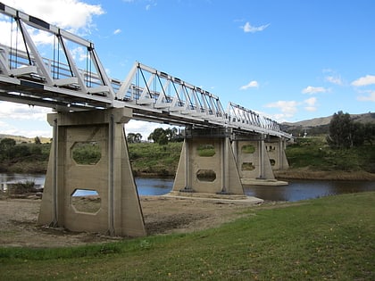
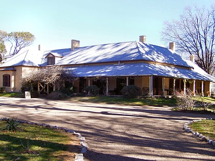
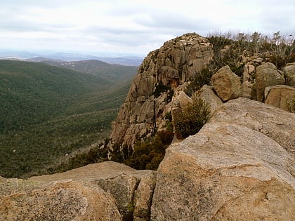
Nearby attractions include: Tharwa Bridge, Lanyon Homestead, Booroomba Rocks, Honeysuckle Creek Tracking Station.
