Honeysuckle Creek Tracking Station

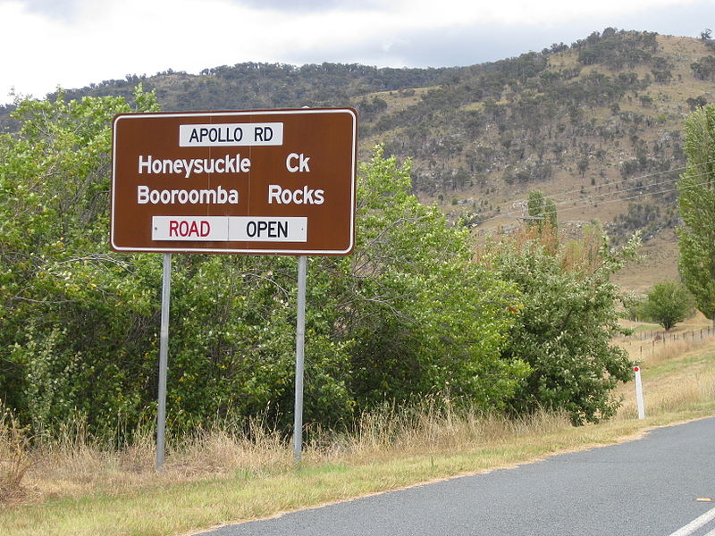
Gallery (2)
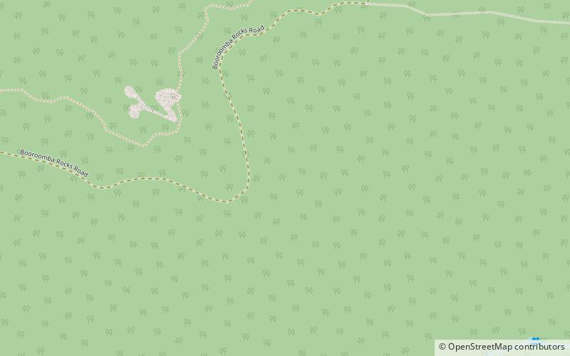
Map
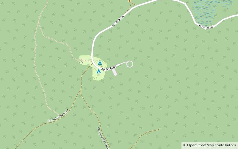
Map
Gallery
Facts and practical information
Honeysuckle Creek Tracking Station was a NASA Earth station in Australia near Canberra, and was instrumental to the Apollo Program. The station was opened in 1967 and closed in 1981. ()
Coordinates: 35°35'2"S, 148°58'37"E
Location
Australian Capital Territory
ContactAdd
Social media
Add
Day trips