Wellington Square, Perth
Map
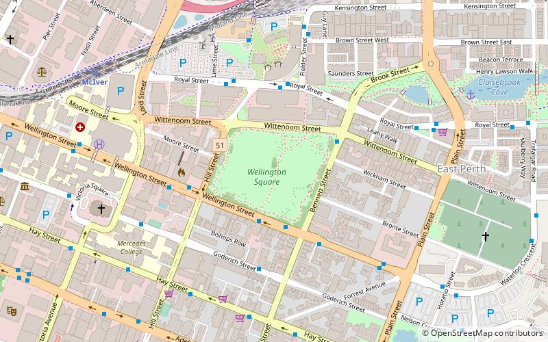
Map

Facts and practical information
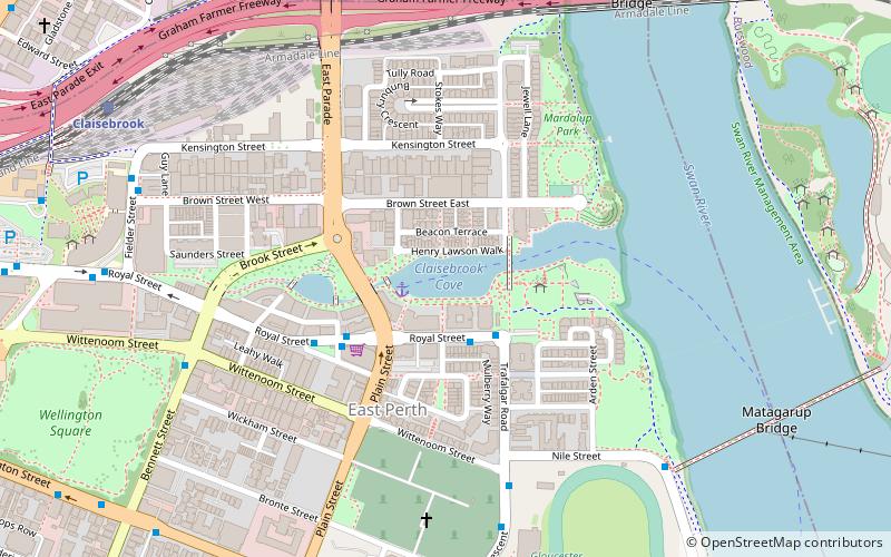
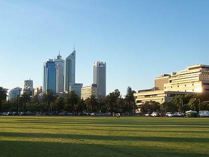
Wellington Square is a public park located on Wellington Street in the suburb of East Perth in Perth, Western Australia. ()
Elevation: 69 ft a.s.l.Coordinates: 31°57'16"S, 115°52'19"E
Address
Bennett StEast PerthPerth 6004
ContactAdd
Social media
Add
Day trips
Wellington Square – popular in the area (distance from the attraction)
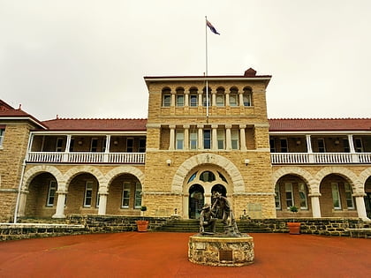
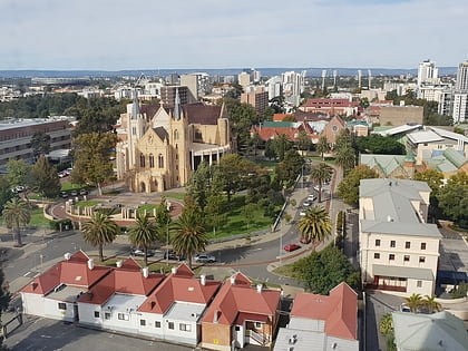
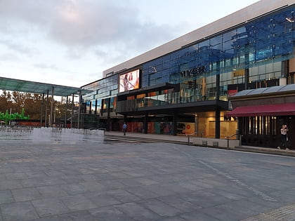
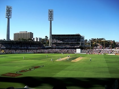
Nearby attractions include: Perth Mint, St Mary's Cathedral, Forrest Chase, WACA Ground.
Frequently Asked Questions (FAQ)
Which popular attractions are close to Wellington Square?
Nearby attractions include Perth Mint, Perth (7 min walk), St Mary's Cathedral, Perth (8 min walk), Adelaide Terrace, Perth (10 min walk), Graham Farmer Freeway, Perth (10 min walk).
How to get to Wellington Square by public transport?
The nearest stations to Wellington Square:
Bus
Train
Ferry
Bus
- Hill Street • Lines: 3F, 3T (3 min walk)
- Wellington Square • Lines: 2, 3F, 3T (4 min walk)
Train
- Claisebrook (9 min walk)
- McIver (10 min walk)
Ferry
- Barrack Street Jetty • Lines: Express (23 min walk)
- Elizabeth Quay Ferry Terminal • Lines: Transperth Ferry - Elizabeth Qua, Transperth Ferry - Mends Street (25 min walk)

