St John's College, Sydney
Map
Gallery
Facts and practical information
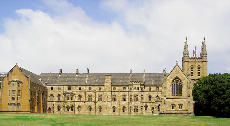
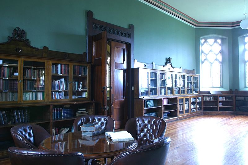
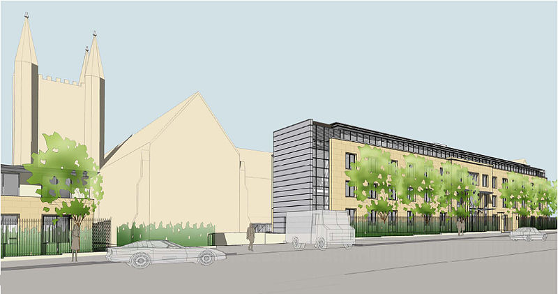
St John's College, or the College of St John the Evangelist, is a residential college within the University of Sydney. ()
Coordinates: 33°53'19"S, 151°10'55"E
Day trips
St John's College – popular in the area (distance from the attraction)
Nearby attractions include: Carriageworks, Broadway Shopping Centre, Rozelle Tram Depot, Camperdown Cemetery.
Frequently Asked Questions (FAQ)
Which popular attractions are close to St John's College?
Nearby attractions include Royal Prince Alfred Hospital, Sydney (2 min walk), Charles Perkins Centre, Sydney (4 min walk), University of Sydney, Sydney (9 min walk), Sydney University Lawn Tennis Club, Sydney (11 min walk).
How to get to St John's College by public transport?
The nearest stations to St John's College:
Bus
Train
Light rail
Bus
- Larkin St • Lines: 438 (6 min walk)
- Ross Street • Lines: 438 (8 min walk)
Train
- Macdonaldtown (16 min walk)
- Newtown (17 min walk)
Light rail
- Glebe • Lines: L1 (22 min walk)
- Jubilee Park • Lines: L1 (24 min walk)




 Sydney Trains
 Sydney Light Rail
 Sydney Ferries