Angas Downs Indigenous Protected Area


Facts and practical information
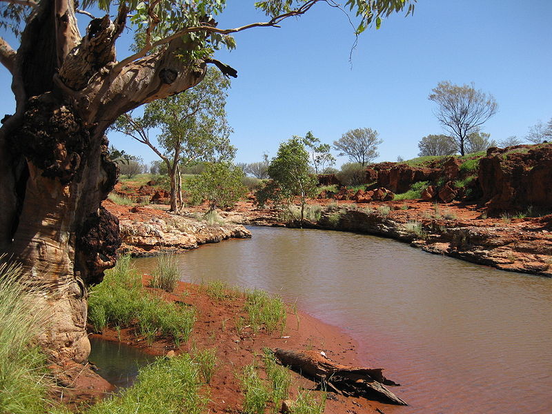
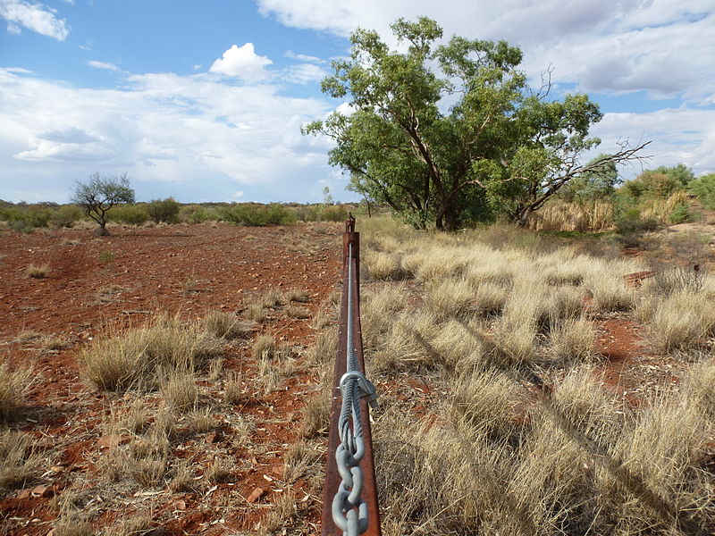
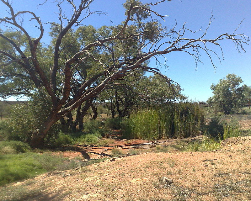
Angas Downs Indigenous Protected Area is an Aboriginal Australian-owned 320,500-hectare pastoral lease, within the MacDonnell Shire area, 300 kilometres south-west of Alice Springs, Northern Territory, 135 kilometres east from Uluṟu-Kata Tjuṯa National Park, 100 kilometres south-east of Kings Canyon/Watarrka National Park and 40 kilometres from Mount Ebenezer Roadhouse on the Lasseter Highway. The property is a pastoral lease held by the Imanpa Development Association. ()
Best Ways to Experience the Park
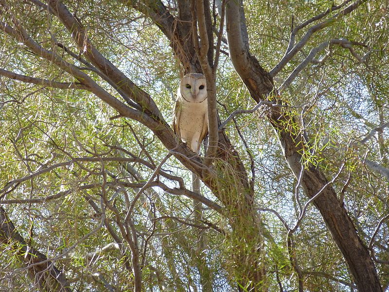
Wildlife
AnimalsSee what popular animal species you can meet in this location.
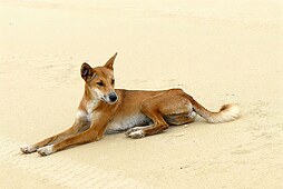
Dingo
The dingo is a medium-sized canine native to Australia, recognizable for its lean, hardy build that grants it speed, agility, and endurance. Although there is some debate about its exact classification, dingoes typically come in three main coat colors: light ginger or...
Mammals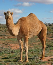
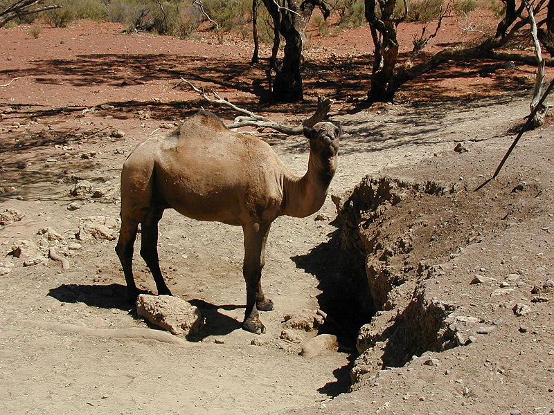
Camel
Camels, part of the genus Camelus, are renowned for their distinctive humps and have been integral to human life for centuries. These even-toed ungulates have been domesticated to provide food, textiles, and transportation, particularly in desert environments where...
Mammals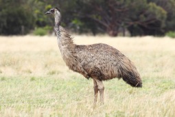
Emu
The emu, a bird indigenous to Australia, is the second-largest living bird by height, surpassed only by the ostrich. These soft-feathered, flightless birds can stand up to 1.9 meters tall and are easily identifiable by their long necks and legs, along with their brown...
Birds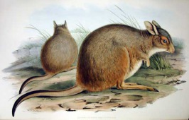
Rufous (Western) Hare-wallaby
The rufous hare-wallaby, also known as the mala, is an endearing small marsupial native to Australia. Once widespread across the western half of the continent, these diminutive creatures are now predominantly found on Bernier Island and Dorre Island off the coast of...
Mammals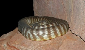
Woma python
The woma python, also known as Ramsay's python, sand python, or simply woma, is a captivating snake species native to Australia. Once abundant in Western Australia, it has unfortunately become critically endangered in certain regions.
Reptiles