Toowong Memorial Park, Brisbane
Map

Map

Facts and practical information
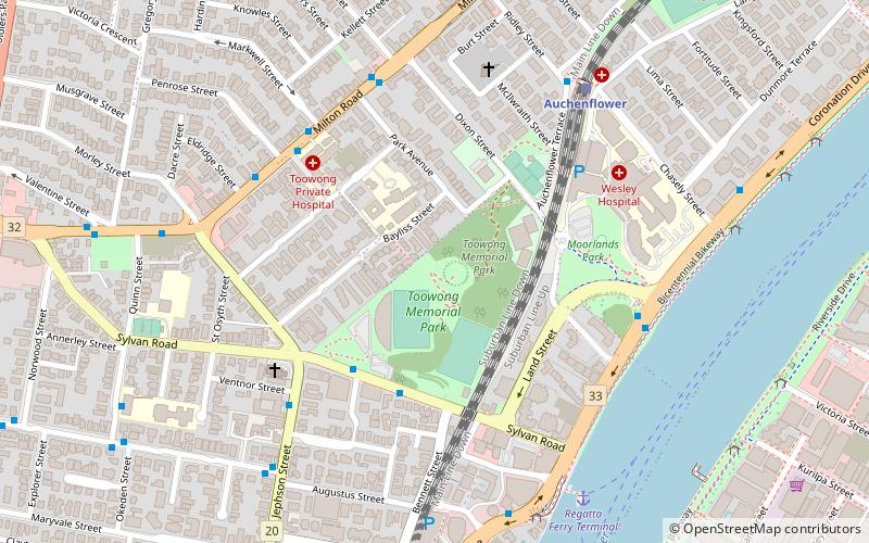
Toowong Memorial Park is a heritage-listed memorial and park at 65 Sylvan Road, Toowong, City of Brisbane, Queensland, Australia. It was designed by George Rae and built c. 1922 by Andrew Lang Petrie Monumental Works. It was added to the Queensland Heritage Register on 4 September 2007. ()
Elevation: 56 ft a.s.l.Coordinates: 27°28'45"S, 152°59'38"E
Day trips
Toowong Memorial Park – popular in the area (distance from the attraction)
Nearby attractions include: Toowong Village, Suncorp Stadium, Toowong Cemetery, The Barracks.
Frequently Asked Questions (FAQ)
Which popular attractions are close to Toowong Memorial Park?
Nearby attractions include Brisbane College of Theology, Brisbane (3 min walk), Moorlands, Brisbane (7 min walk), Toowong Municipal Library Building, Brisbane (11 min walk), Toowong, Brisbane (14 min walk).
How to get to Toowong Memorial Park by public transport?
The nearest stations to Toowong Memorial Park:
Bus
Train
Ferry
Bus
- Milton Road at Markwell Street stop 12 • Lines: 470 (6 min walk)
- Coronation Drive at Wesley Hospital stop 9 • Lines: 412, 444, 460 (7 min walk)
Train
- Auchenflower (8 min walk)
- Toowong (10 min walk)
Ferry
- Regatta Ferry Terminal • Lines: Uqsl-1410 (9 min walk)
- West End Ferry Terminal • Lines: Uqsl-1410 (25 min walk)


