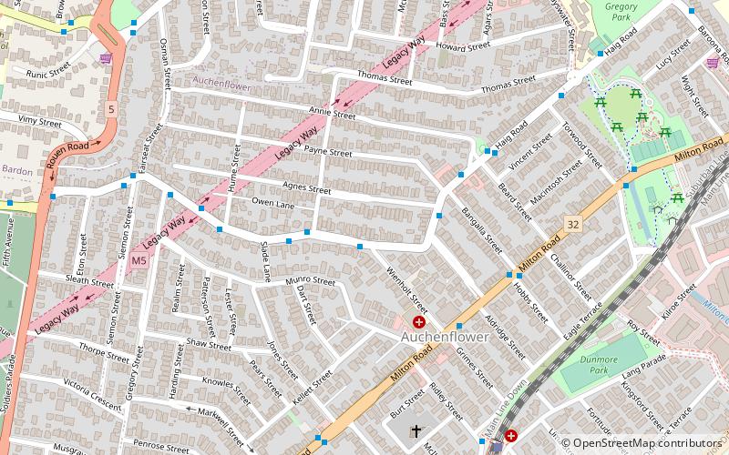
Auchenflower, Brisbane
Map

Map

Facts and practical information
Auchenflower is an inner suburb of the City of Brisbane, Queensland, Australia. In the 2016 census, Auchenflower had a population of 5,870 people. ()
Coordinates: 27°28'17"S, 152°59'38"E
Address
AuchenflowerBrisbane
ContactAdd
Social media
Add
Day trips
Auchenflower – popular in the area (distance from the attraction)
Nearby attractions include: Toowong Village, Suncorp Stadium, Toowong Cemetery, The Barracks.
Frequently Asked Questions (FAQ)
Which popular attractions are close to Auchenflower?
Nearby attractions include Frew Park, Brisbane (11 min walk), Rosalie, Brisbane (11 min walk), Brisbane College of Theology, Brisbane (12 min walk), Toowong Memorial Park, Brisbane (14 min walk).
How to get to Auchenflower by public transport?
The nearest stations to Auchenflower:
Bus
Train
Ferry
Bus
- Birdwood Terrace at Wienholt Street stop 14 • Lines: 471 (1 min walk)
- Haig Road at Payne Street stop 13 • Lines: 471 (4 min walk)
Train
- Auchenflower (10 min walk)
- Milton (19 min walk)
Ferry
- Regatta Ferry Terminal • Lines: Uqsl-1410 (22 min walk)


