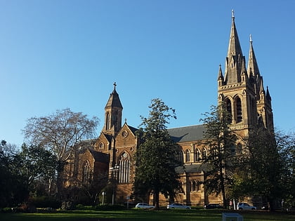
University Oval, Adelaide
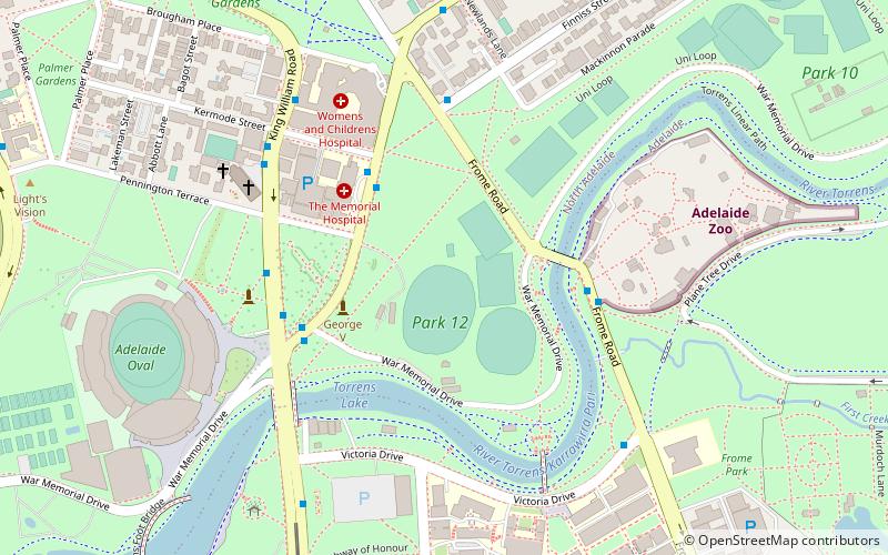
Map
Facts and practical information
University Oval, referred to by the University of Adelaide, Adelaide University Sports Association and various other groups, is a part of Park 12 in the Adelaide Parklands located across the River Torrens opposite the University of Adelaide. Park 12 is bounded by North Terrace, Frome Road, Sir Edwin Smith Avenue and King William Road ()
Coordinates: 34°54'51"S, 138°36'7"E
Address
North AdelaideAdelaide
ContactAdd
Social media
Add
Day trips
University Oval – popular in the area (distance from the attraction)
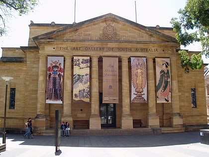
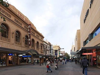
Nearby attractions include: Art Gallery of South Australia, Rundle Mall, Adelaide Oval, Adelaide Zoo.
Frequently Asked Questions (FAQ)
Which popular attractions are close to University Oval?
Nearby attractions include Park 12, Adelaide (3 min walk), Koala Farm, Adelaide (5 min walk), Torrens Parade Ground, Adelaide (7 min walk), St Peter's Cathedral, Adelaide (7 min walk).
How to get to University Oval by public transport?
The nearest stations to University Oval:
Bus
Tram
Train
Bus
- Stop 1 King William Road - West side • Lines: 224, 224F, 224X (5 min walk)
- Stop 2 King William Road - West side • Lines: 224, 224F, 224X (7 min walk)
Tram
- Art Gallery (13 min walk)
- University (14 min walk)
Train
- Adelaide (14 min walk)
- North Adelaide (33 min walk)
