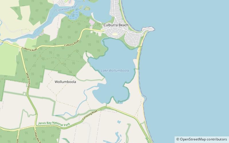
Lake Wollumboola, Jervis Bay National Park
Map

Map

Facts and practical information
Lake Wollumboola is a 648 hectares coastal lake in the Shoalhaven region of New South Wales, Australia. It lies to the immediate south of the town of Culburra Beach and to the north of Jervis Bay. It forms part of Jervis Bay National Park. The lake is separated from the ocean by a berm about 100 metres wide which breaches only when the lake fills to over 2.5 metres above mean sea level. ()
Elevation: 0 ft a.s.l.Coordinates: 34°57'6"S, 150°45'43"E
Address
Jervis Bay National Park
ContactAdd
Social media
Add
Day trips
Lake Wollumboola – popular in the area (distance from the attraction)
Nearby attractions include: Crookhaven Heads Light, Greenwell Point, Culburra Beach, Callala Bay.


