National Emergency Services Memorial, Canberra
Map
Gallery

Facts and practical information
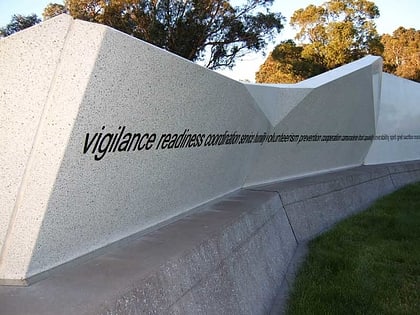
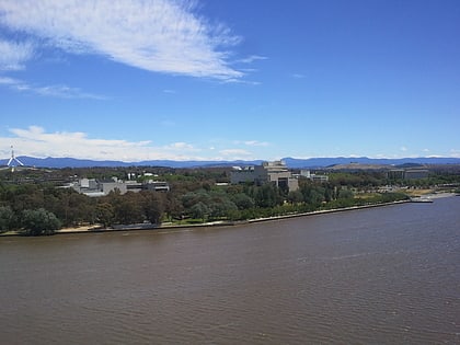
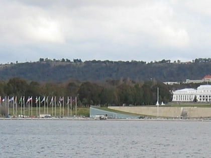
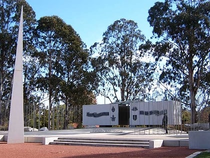
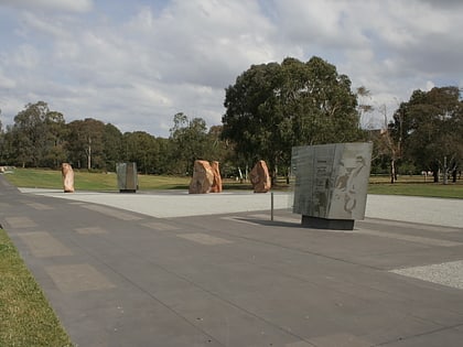
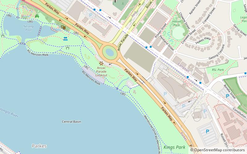
The National Emergency Services Memorial is a memorial located on the northern shore of Lake Burley Griffin at the southern end of Anzac Parade in Canberra, the national capital of Australia. It was dedicated in July 2004. ()
Coordinates: 35°17'31"S, 149°8'28"E
Day trips
National Emergency Services Memorial – popular in the area (distance from the attraction)
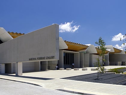
Nearby attractions include: Commonwealth Park, National Gallery of Australia, Captain James Cook Memorial, National Carillon.
Frequently Asked Questions (FAQ)
Which popular attractions are close to National Emergency Services Memorial?
Nearby attractions include Blundells Cottage, Canberra (3 min walk), New Zealand Memorial, Canberra (5 min walk), Australian Peacekeeping Memorial, Canberra (6 min walk), St John the Baptist Church, Canberra (8 min walk).
How to get to National Emergency Services Memorial by public transport?
The nearest stations to National Emergency Services Memorial:
Bus
Light rail
Bus
- City Bus Station (28 min walk)
- City Bus Station Platform 9 • Lines: 30 (29 min walk)
Light rail
- Alinga Street • Lines: Canberra Metro (Nouthbound), Canberra Metro (Southbound) (30 min walk)
