Kings Park, Canberra
Map
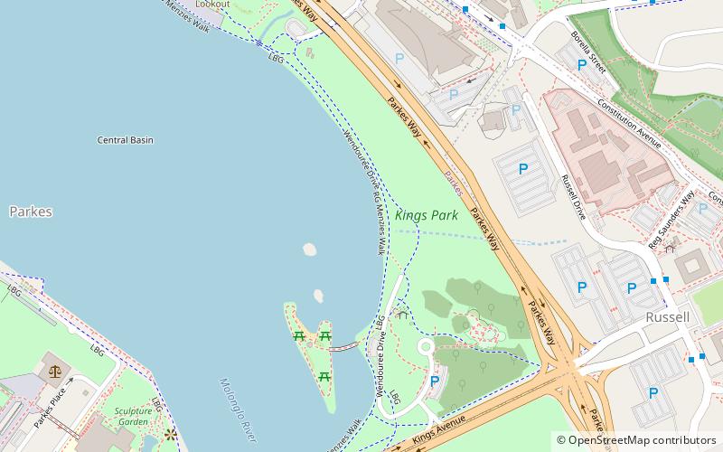
Map

Facts and practical information
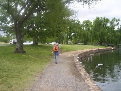
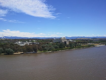
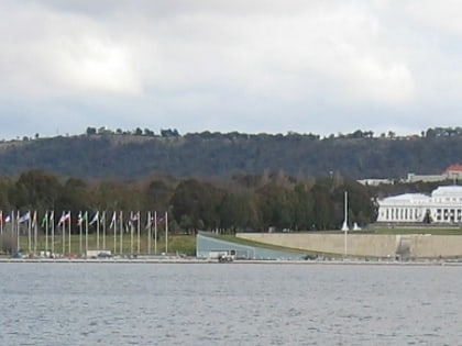
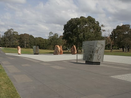
Kings Park is a park in Canberra, Australia on the shore of Lake Burley Griffin. ()
Elevation: 1818 ft a.s.l.Coordinates: 35°17'46"S, 149°8'35"E
Address
Wendouree Dr.South Canberra (Parkes)Canberra 2600
Contact
+61 2 6271 2888
Social media
Add
Day trips
Kings Park – popular in the area (distance from the attraction)
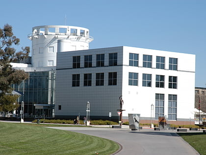
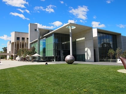
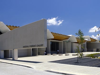
Nearby attractions include: Questacon, National Gallery of Australia, National Carillon, National Portrait Gallery.
Frequently Asked Questions (FAQ)
When is Kings Park open?
Kings Park is open:
- Monday 24h
- Tuesday 24h
- Wednesday 24h
- Thursday 24h
- Friday 24h
- Saturday 24h
- Sunday 24h
Which popular attractions are close to Kings Park?
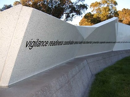
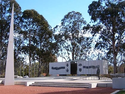
Nearby attractions include Merchant Navy Memorial, Canberra (4 min walk), National Carillon, Canberra (5 min walk), National Workers Memorial, Canberra (5 min walk), National Police Memorial, Canberra (6 min walk).
How to get to Kings Park by public transport?
The nearest stations to Kings Park:
Bus
Bus
- City West Bus Station (40 min walk)
