Berowra Valley National Park, Sydney
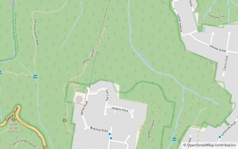
Map

Gallery

Facts and practical information
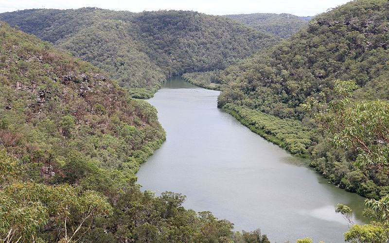
The Berowra Valley National Park is a protected national park that is located in northern Sydney, New South Wales, Australia. The 3,884-hectare national park is situated approximately 20 kilometres north-west of the Sydney central business district. Located within the Sydney Basin, the park is part of the dissected Hornsby Plateau which is dominated by Hawkesbury Sandstone and predominately covers the catchment area of Berowra Creek. ()
Established: September 2012 (13 years ago)Area: 1496.53 mi²Elevation: 486 ft a.s.l.Coordinates: 33°39'32"S, 151°5'42"E
Day trips
Berowra Valley National Park – popular in the area (distance from the attraction)
Nearby attractions include: Galston Gorge, Westfield Hornsby, St Ives Shopping Village, Fagan Park.
Frequently Asked Questions (FAQ)
How to get to Berowra Valley National Park by public transport?
The nearest stations to Berowra Valley National Park:
Train
Train
- Mount Colah (37 min walk)

 Sydney Trains
 Sydney Light Rail
 Sydney Ferries


