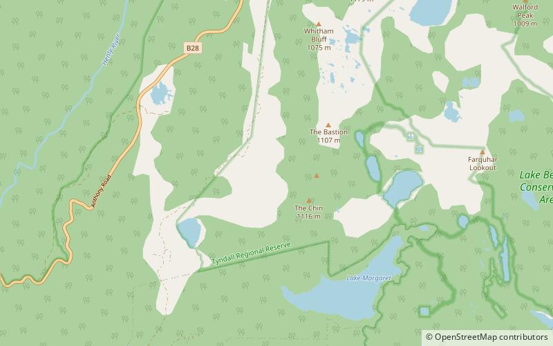
Lake Margaret

Map
Facts and practical information
Lake Margaret is a concrete-faced gravity dam with an uncontrolled spillway across the Yolande River, located on the north side of Mount Sedgwick, in the West Coast Range, West Coast of Tasmania, Australia. ()
Alternative names: Opened: 1918 (108 years ago)Length: 797 ftHeight: 56 ftReservoir area: 0.66 mi²Elevation: 0 ft a.s.l.Coordinates: 42°0'0"S, 145°31'59"E
Location
Tasmania
ContactAdd
Social media
Add
Day trips
Lake Margaret – popular in the area (distance from the attraction)
Nearby attractions include: Galley Museum, Mount Lyell, Tyndall Range, Mount Tyndall.


