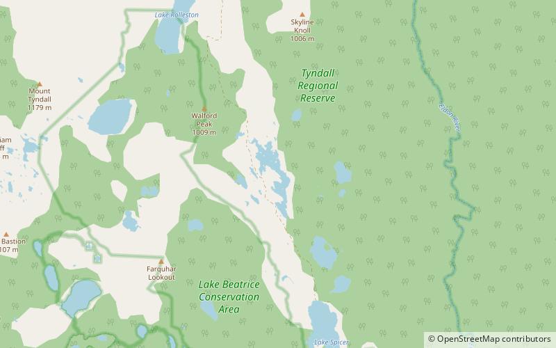
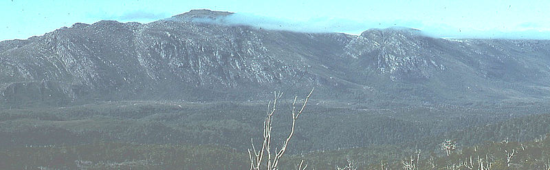
Mount Tyndall

Gallery (2)
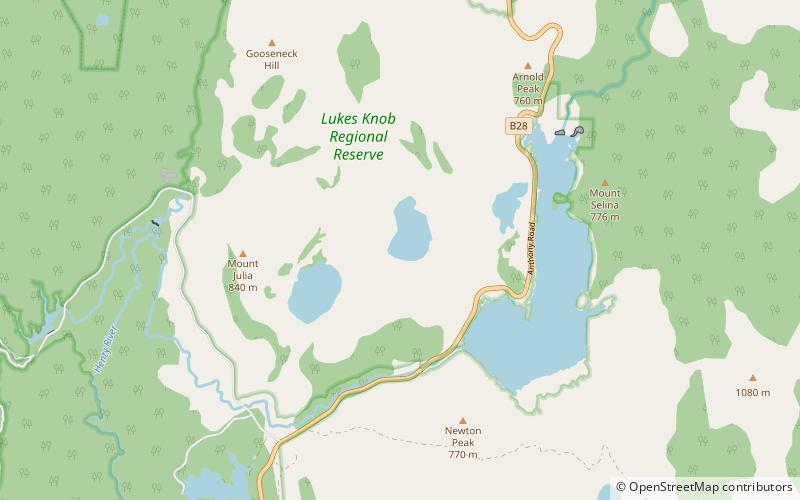
Map
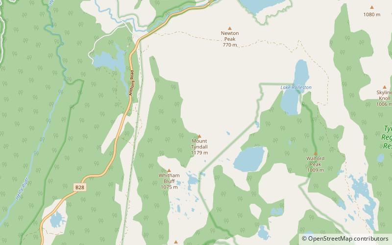
Map
Gallery
Facts and practical information
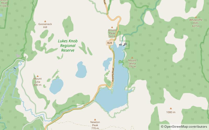
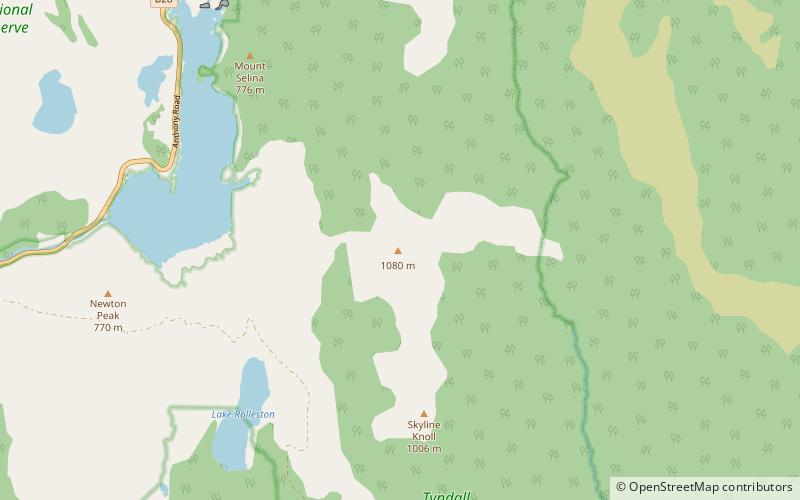
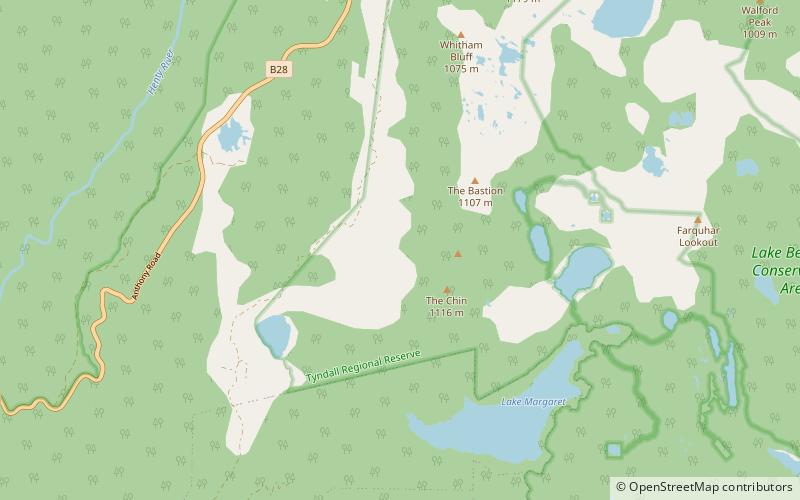
Mount Tyndall is a mountain that is part of the Tyndall Range, a spur off the West Coast Range, located in the Western region of Tasmania, Australia. ()
Elevation: 3868 ftCoordinates: 41°55'48"S, 145°35'24"E
Location
Tasmania
ContactAdd
Social media
Add
Day trips