Lady Robinsons Beach, Sydney
Map

Gallery

Facts and practical information
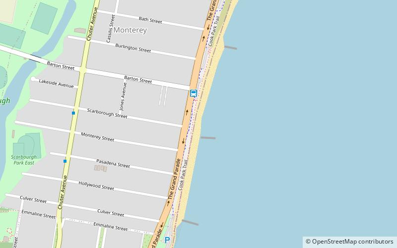
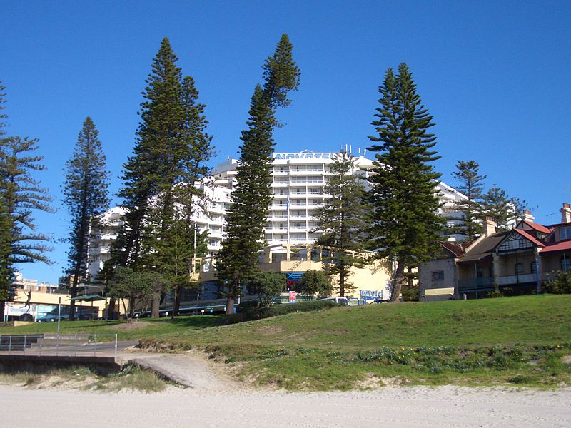
Lady Robinsons Beach is the stretch of beach between the mouth of the Cooks River and the mouth of Georges River on the western shore of Botany Bay in Sydney, New South Wales, Australia. Originally known as Seven Mile Beach, it was renamed after the wife of the then Governor, Sir Hercules Robinson. Isolated settlements separated from the beach by sand dunes were also given the name of Lady Robinson's Beach as their postal address. ()
Coordinates: 33°58'31"S, 151°9'4"E
Address
Rockdale (Monterey)Sydney
ContactAdd
Social media
Add
Day trips
Lady Robinsons Beach – popular in the area (distance from the attraction)
Nearby attractions include: Rockdale Plaza, Kogarah ANZAC Memorial, Rockdale Bicentennial Park, Beverley Park Golf Club.
Frequently Asked Questions (FAQ)
How to get to Lady Robinsons Beach by public transport?
The nearest stations to Lady Robinsons Beach:
Bus
Train
Bus
- Monterey, The Grand Pde nr Barton St; Line: 303, 478, X03 (2 min walk)
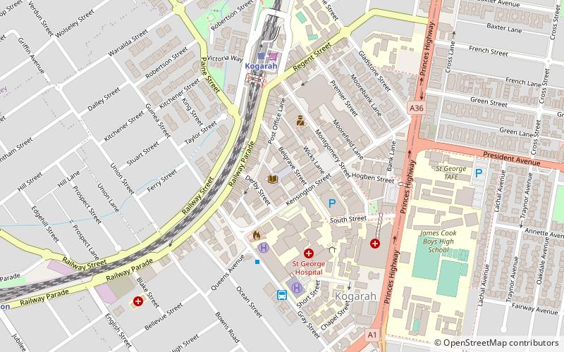
- Kogarah, Gray St opp Short St; Line: 476, 477 (29 min walk)
Train
- Kogarah (36 min walk)

 Sydney Trains
 Sydney Light Rail
 Sydney Ferries


