Rockdale Bicentennial Park, Sydney
Map

Gallery

Facts and practical information
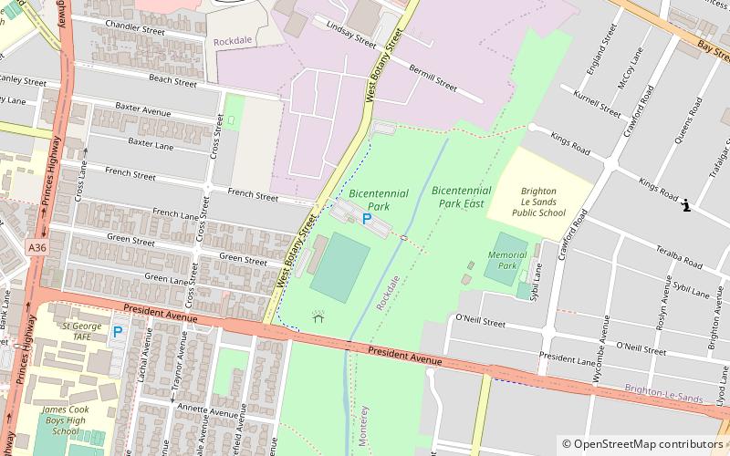
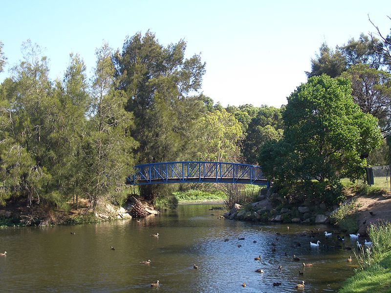
Bicentennial Park is a recreational area in Rockdale, a suburb of Sydney in New South Wales, Australia. It features a bike track, athletics facilities and soccer and rugby league grounds. The park is divided into three sections known as Bicentennial Park North, Bicentennial Park South and Bicentennial Park East. Two ponds are linked by a creek to more wetlands in Scarborough park, to the south. A footbridge over the ponds links Bicentennial Park East to the rest of the recreational area. ()
Elevation: 26 ft a.s.l.Coordinates: 33°57'47"S, 151°8'42"E
Address
RockdaleSydney
ContactAdd
Social media
Add
Day trips
Rockdale Bicentennial Park – popular in the area (distance from the attraction)
Nearby attractions include: Rockdale Plaza, Kogarah ANZAC Memorial, Beverley Park Golf Club, Lady Robinsons Beach.
Frequently Asked Questions (FAQ)
How to get to Rockdale Bicentennial Park by public transport?
The nearest stations to Rockdale Bicentennial Park:
Train
Bus
Train
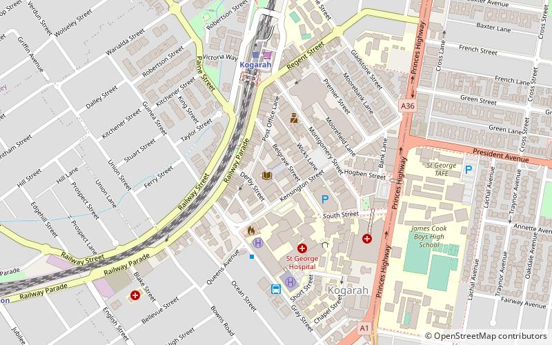
- Kogarah (19 min walk)
- Rockdale (24 min walk)
Bus
- Kogarah (19 min walk)
- Kogarah, Gray St opp Short St; Line: 476, 477 (20 min walk)

 Sydney Trains
 Sydney Light Rail
 Sydney Ferries


