Cunninghams Gap, Border Ranges National Park
Map

Gallery

Facts and practical information
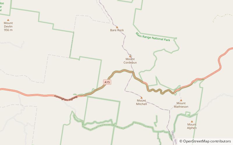
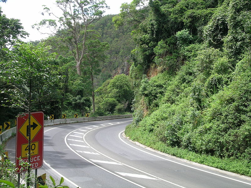
Cunninghams Gap is a pass over the Great Dividing Range between the Darling Downs and the Fassifern Valley in Queensland, Australia. The Gap is the major route over the Main Range along the Great Dividing Range, between Warwick and Brisbane. The Cunningham Highway was built to provide road transport between the two regions. ()
Coordinates: 28°2'60"S, 152°23'6"E
Address
Border Ranges National Park
ContactAdd
Social media
Add
Day trips
Cunninghams Gap – popular in the area (distance from the attraction)
Nearby attractions include: Spicers Peak, Mount Mitchell, Spicers Gap Road Conservation Park, Spicers Gap.


