Spicers Gap, Border Ranges National Park
Map

Map

Facts and practical information
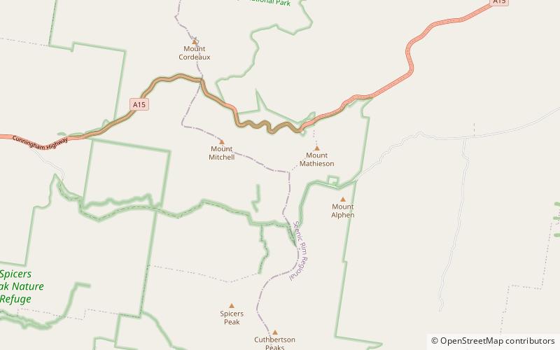
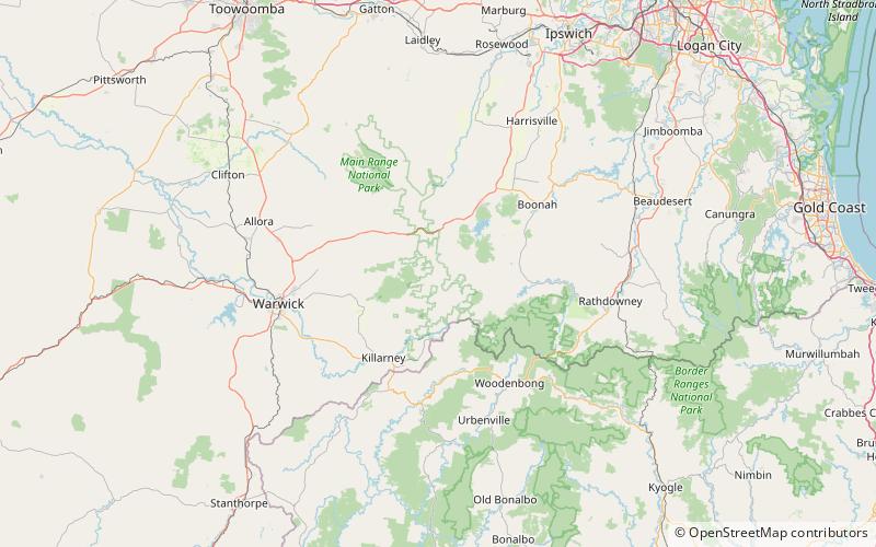
Spicers Gap is a mountain pass that is located 100 kilometres west of Brisbane, Queensland, Australia, and was the original route over the Great Dividing Range in the area around Brisbane. Today it is included in Main Range National Park and is a popular destination for campers and bushwalkers. To the south of the gap is Spicers Peak. To the west of the mountain pass is Spicers Gap State Forest. Both the state forest and national park are part of the Gondwana Rainforests of Australia. ()
Maximum elevation: 2477 ftCoordinates: 28°4'13"S, 152°24'50"E
Address
Border Ranges National Park
ContactAdd
Social media
Add
Day trips
Spicers Gap – popular in the area (distance from the attraction)
Nearby attractions include: Spicers Peak, Mount Greville, Mount Mitchell, Spicers Gap Road Conservation Park.


