Brunswick Street, Brisbane
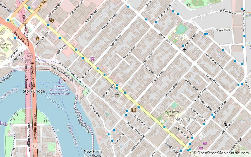
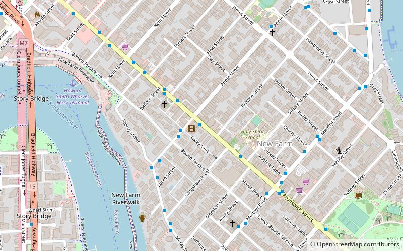
Map

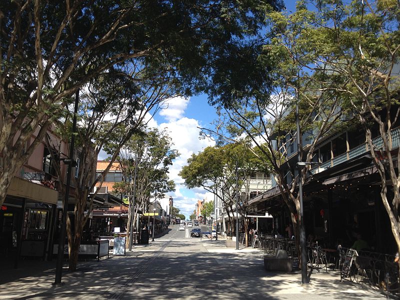
Gallery

Facts and practical information
Brunswick Street is a main thoroughfare within the suburbs of New Farm and Fortitude Valley in Brisbane, Australia. The street is not entirely roadway but is a pedestrian mall for a hundred metres near its centre. ()
Coordinates: 27°27'47"S, 153°2'31"E
Address
New FarmBrisbane
ContactAdd
Social media
Add
Day trips
Brunswick Street – popular in the area (distance from the attraction)
Nearby attractions include: Fortitude Valley, Story Bridge, McWhirters, Gasworks Plaza.
Frequently Asked Questions (FAQ)
Which popular attractions are close to Brunswick Street?
Nearby attractions include Fortitude Valley Primitive Methodist Church, Brisbane (8 min walk), New Farm, Brisbane (8 min walk), Howard Smith Wharves, Brisbane (8 min walk), Story Bridge, Brisbane (10 min walk).
How to get to Brunswick Street by public transport?
The nearest stations to Brunswick Street:
Bus
Ferry
Train
Bus
- James Street near Gibbon Street stop 10 • Lines: 470 (7 min walk)
- Gibbon Street near Dawson Lane stop 10 • Lines: 470 (7 min walk)
Ferry
- Holman Street Ferry Terminal • Lines: Chop-400, Xrvr-400 (15 min walk)
- Dockside Ferry Terminal • Lines: Chop-400 (18 min walk)
Train
- Fortitude Valley (18 min walk)
- Central (26 min walk)


