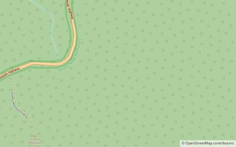
Gibraltar Range, Gibraltar Range National Park

Map
Facts and practical information
The Gibraltar Range is a mountain range in the Northern Tablelands region of New South Wales, Australia. The range extends off the Great Dividing Range at Bald Nob about 25 kilometres east northeast of Glen Innes and trends generally east northeast and north northeast for about 100 kilometres to the junction of Timbarra and Clarence rivers. It forms the watershed between these two rivers. ()
Alternative names: Maximum elevation: 328084 ftElevation: 3839 ftCoordinates: 29°28'60"S, 152°21'0"E
Address
Gibraltar Range National Park
ContactAdd
Social media
Add