Lower Georges Heights Commanding Position, Sydney
Map
Gallery
Facts and practical information
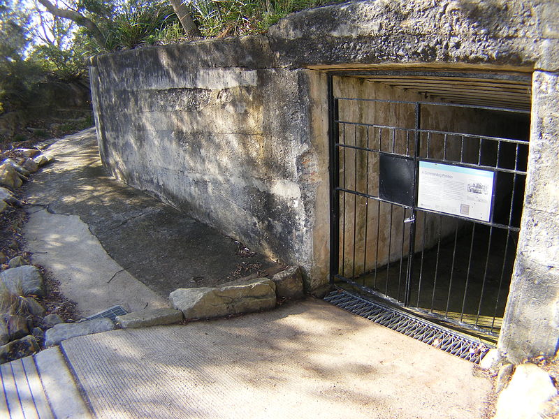
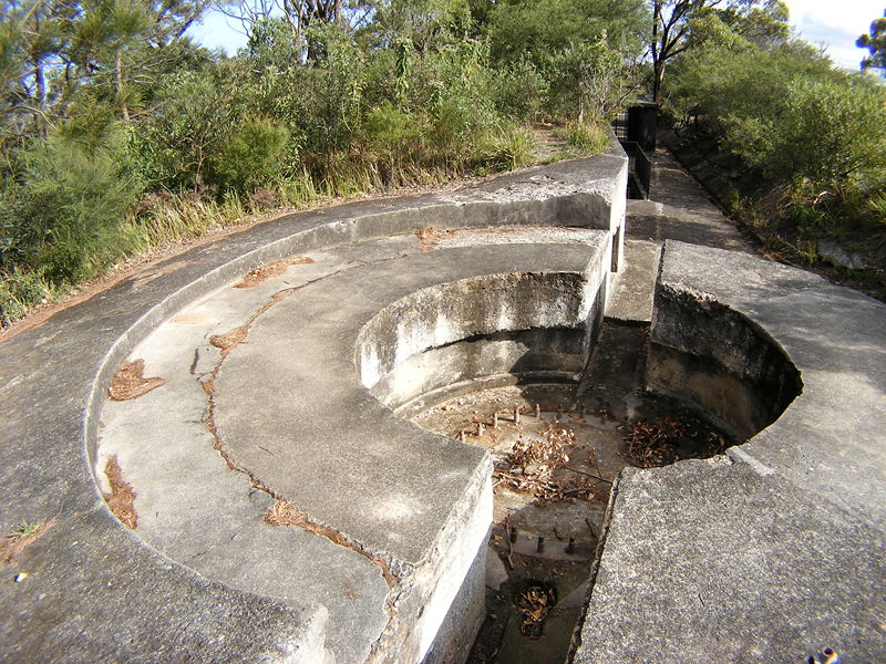
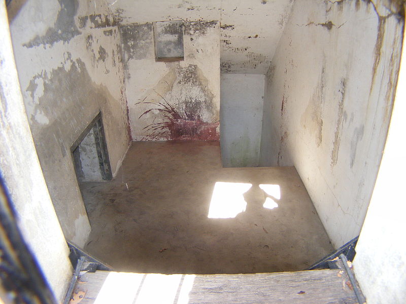
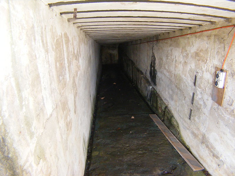
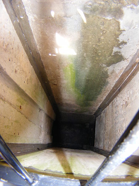
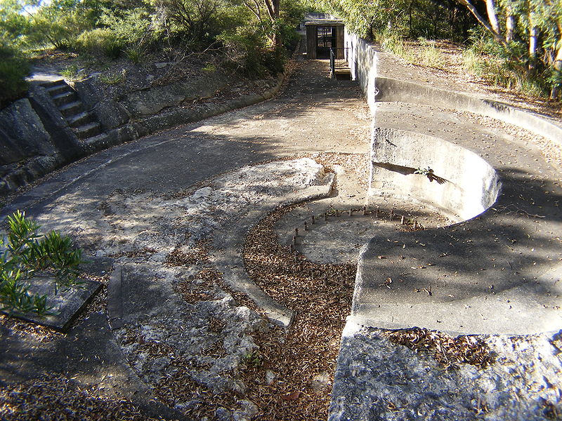
The Lower Georges Heights Commanding Position is located in the urban locality of Georges Heights in the suburb of Mosman, on the shores of Port Jackson, Sydney, New South Wales, Australia. The Lower Georges Heights Commanding Position was constructed and designed to stop enemy ships from entering into Sydney Harbour, and worked in conjunction with several others forts located within close proximity. ()
Coordinates: 33°50'8"S, 151°15'29"E
Address
Mosman (Clifton Gardens)Sydney
ContactAdd
Social media
Add
Day trips
Lower Georges Heights Commanding Position – popular in the area (distance from the attraction)
Nearby attractions include: Taronga Zoo, Port Jackson, Wentworth Memorial Church, Nielsen Park.
Frequently Asked Questions (FAQ)
Which popular attractions are close to Lower Georges Heights Commanding Position?
Nearby attractions include Georges Head Battery, Sydney (2 min walk), Sydney Harbour defences, Sydney (7 min walk), Obelisk Beach, Sydney (10 min walk), Western Channel Pile Light, Sydney (13 min walk).
How to get to Lower Georges Heights Commanding Position by public transport?
The nearest stations to Lower Georges Heights Commanding Position:
Bus
Ferry
Bus
- Taronga Zoo (25 min walk)
Ferry
- Taronga Zoo (34 min walk)



 Sydney Trains
 Sydney Light Rail
 Sydney Ferries