Cedar Pocket Dam, Great Sandy Biosphere Reserve

Gallery (1)
Map
Map
Facts and practical information
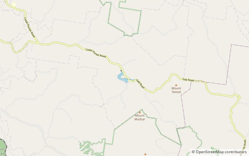
The Cedar Pocket Dam is a partially concrete gravity and rock and earth-fill embankment dam with an un-gated spillway located across the Deep Creek in the Wide Bay–Burnett region of Queensland, Australia. The main purpose of the dam is for irrigation, where the dam provides regulated water supplies along Deep Creek, a tributary of the Mary River. ()
Opened: 1987 (39 years ago)Length: 384 ftHeight: 66 ftReservoir area: 54.36 acres (0.0849 mi²)Reservoir depth: 40 ftCoordinates: 26°12'54"S, 152°47'38"E