Marine Terrace, Perth
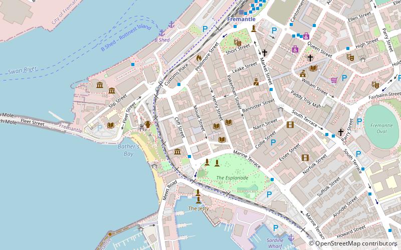
Map
Gallery
Facts and practical information
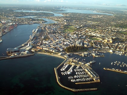
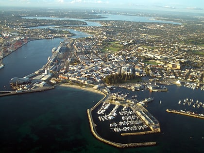
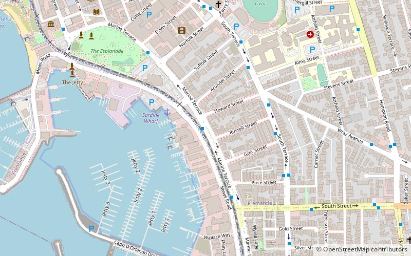
Marine Terrace, Fremantle is a road on the southern side of the built up area of Fremantle, Western Australia. It is named for its location alongside the water front. ()
Coordinates: 32°3'39"S, 115°44'56"E
Address
FremantlePerth
ContactAdd
Social media
Add
Day trips
Marine Terrace – popular in the area (distance from the attraction)
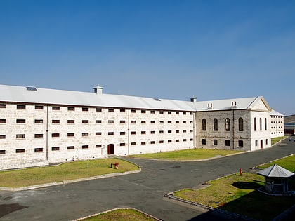
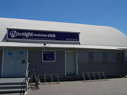
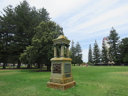
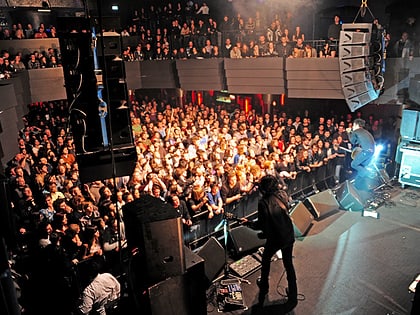
Nearby attractions include: Fremantle Prison, Fremantle Markets, Fly by Night Club, Explorers' Monument.
Frequently Asked Questions (FAQ)
Which popular attractions are close to Marine Terrace?
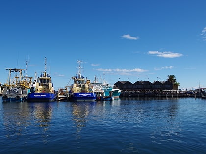
Nearby attractions include Fremantle Fishing Boat Harbour, Perth (6 min walk), Little Creatures, Perth (7 min walk), Fremantle Synagogue, Perth (8 min walk), Esplanade Park, Perth (8 min walk).
How to get to Marine Terrace by public transport?
The nearest stations to Marine Terrace:
Bus
Train
Ferry
Bus
- Howard Street • Lines: 7 (1 min walk)
- Wray Avenue • Lines: 7 (5 min walk)
Train
- Fremantle (17 min walk)
Ferry
- B Shed • Lines: Express, SeaLink (18 min walk)
- Northport Rous Head • Lines: Express (33 min walk)
