Koonung Creek Reserve, Melbourne
Map

Gallery

Facts and practical information
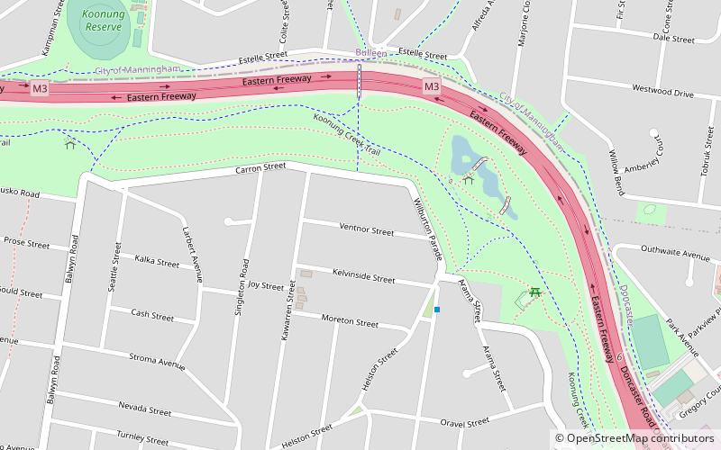
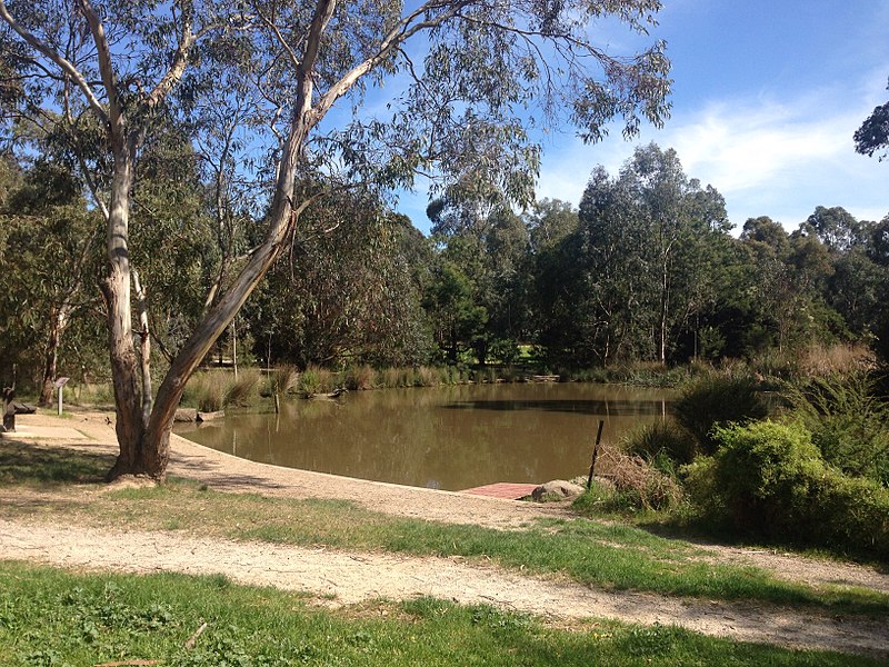
Koonung Creek Reserve is a linear park in the suburb of Balwyn North, Melbourne, Australia. It follows the path of the Eastern Freeway from Bulleen Road in the west to Doncaster Road to the east. ()
Elevation: 121 ft a.s.l.Coordinates: 37°46'57"S, 145°5'38"E
Address
Boroondara (Balwyn North)Melbourne
ContactAdd
Social media
Add
Day trips
Koonung Creek Reserve – popular in the area (distance from the attraction)
Nearby attractions include: Greythorn Park, Bulleen, Freeway Golf Course - Public, Hislop Park.
Frequently Asked Questions (FAQ)
How to get to Koonung Creek Reserve by public transport?
The nearest stations to Koonung Creek Reserve:
Bus
Tram
Bus
- Thompsons Heights Shopping Centre/Thompsons Road • Lines: 905 (14 min walk)
- Stanley Street/Thompsons Road • Lines: 905 (14 min walk)
Tram
- Stop 51: Balwyn Road • Lines: 48, 48d (26 min walk)
- Stop 50: Hill Road • Lines: 48 (28 min walk)

 Melbourne Trams
 Victoria Trains


