Bulleen, Melbourne

Gallery (4)
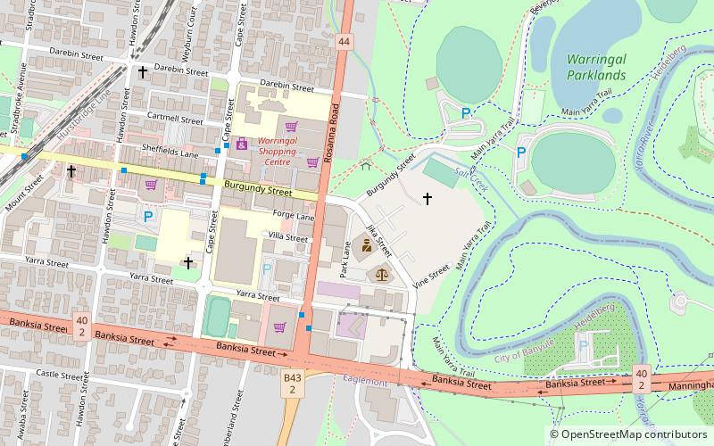
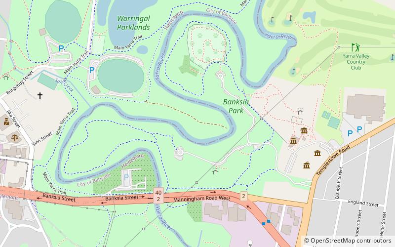
Map

Map
Gallery
Facts and practical information
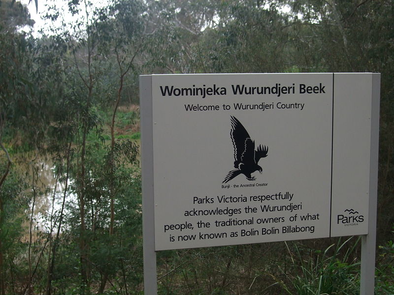
Bulleen is an eastern suburb in Melbourne, Australia, 13 km north-east of the Melbourne central business district. Its local government area is the City of Manningham. At the 2016 Census, Bulleen had a population of 10,873. ()
Address
Manningham (Bulleen)Melbourne
ContactAdd
Social media
Add
Getting there by public transportation
Public transportation stops near this location
- Bus
 Bus
Bus
- Calculate routeRoland Avenue/Manningham Road 4 min walk
- Calculate routeRonald Avenue/Manningham Road 4 min walk
- Calculate routeGrant Olson Avenue/Manningham Road 5 min walk
- Calculate routeYork Street/Manningham Road 8 min walk
Maps Melbourne TramsMaps
 Victoria Trains
Melbourne TramsMapsVictoria TrainsDay trips


Frequently Asked Questions (FAQ)
How to get to Bulleen by public transport?
The nearest stations to Bulleen:
Bus
Bus
- Roland Avenue/Manningham Road • Lines: 282, 903 (4 min walk)
- Ronald Avenue/Manningham Road • Lines: 280, Bus 903 (4 min walk)