Toowong Municipal Library Building, Brisbane
Map

Map

Facts and practical information
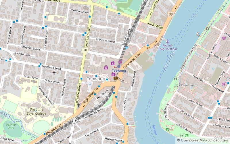
The Toowong Municipal Library Building is heritage-listed former public library at 579–583 Coronation Drive, Toowong, City of Brisbane, Queensland, Australia. It was designed by James Birrell and built in 1961 by Stuart Brothers. It was added to the Queensland Heritage Register on 28 August 1998. In 2001, the library moved to Toowong Village Shopping Centre and the original building has been used as business premises. ()
Built: 1961 (65 years ago)Coordinates: 27°29'7"S, 152°59'35"E
Address
ToowongBrisbane
Contact
+61 7 3403 2590
Social media
Add
Day trips
Toowong Municipal Library Building – popular in the area (distance from the attraction)
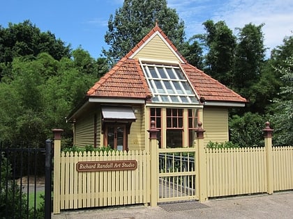
Nearby attractions include: Toowong Village, Indooroopilly Shopping Centre, Toowong Cemetery, Richard Randall Art Studio.
Frequently Asked Questions (FAQ)
Which popular attractions are close to Toowong Municipal Library Building?
Nearby attractions include St Thomas' Anglican Church, Brisbane (7 min walk), Toowong, Brisbane (7 min walk), St Ignatius Loyola Church, Brisbane (10 min walk), Mount St Mary's Convent, Brisbane (11 min walk).
How to get to Toowong Municipal Library Building by public transport?
The nearest stations to Toowong Municipal Library Building:
Train
Bus
Ferry
Train
- Toowong (1 min walk)
- Auchenflower (18 min walk)
Bus
- High St at Toowong Village, stop 23 • Lines: 470 (2 min walk)
- Sherwood Road at Jephson Street stop 15/22 • Lines: 470 (3 min walk)
Ferry
- Regatta Ferry Terminal • Lines: Uqsl-1410 (8 min walk)
- West End Ferry Terminal • Lines: Uqsl-1410 (19 min walk)


