
Danbulla National Park and State Forest Travel Guide
Facts and practical information
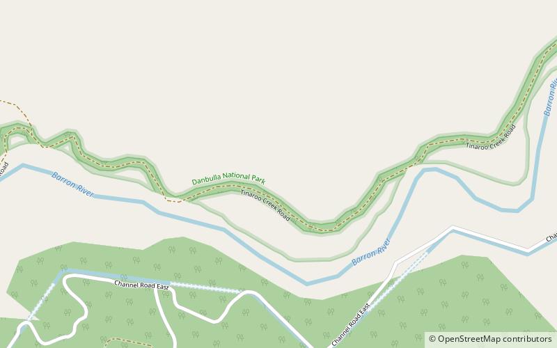
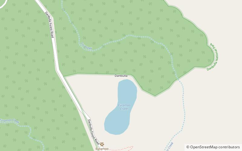
Located in the Queensland region of Australia, Danbulla National Park and State Forest is a nature lover's paradise. This stunning natural area is home to lush rainforests, crystal-clear waterways, and an abundance of wildlife, making it the perfect destination for outdoor enthusiasts and adventurers.
Visitors to Danbulla National Park and State Forest can explore the area's pristine natural beauty by hiking along scenic trails, taking a leisurely paddle on the picturesque waters of Lake Tinaroo, or embarking on a thrilling mountain biking adventure. The park is also a popular spot for birdwatching, with the chance to spot a variety of colorful avian species in their natural habitat.
History buffs will also find plenty to discover in Danbulla National Park and State Forest, as the area is home to several significant cultural sites, including the remains of old logging camps and the historic Hou Wang Temple. This rich history provides a fascinating glimpse into the area's past and the people who have called it home over the years.
For those looking to extend their stay, the park offers a range of camping and picnic facilities, allowing visitors to immerse themselves in the beauty of their surroundings and enjoy a true wilderness experience. Whether you're seeking adventure, relaxation, or a deeper connection with nature, Danbulla National Park and State Forest has something to offer everyone.
Queensland
Danbulla National Park and State Forest Attractions - What to See and Explore
Danbulla National Park and State Forest offers many attractions and places to visit. Here are the most important ones: Atherton Tableland, Danbulla. Below you will find a complete list of places worth visiting.
Best Time To Visit Danbulla National Park and State Forest
Learn when is the best time to travel to Danbulla National Park and State Forest weather-wise and what to expect in each season.