Danbulla, Danbulla National Park and State Forest

Map
Facts and practical information
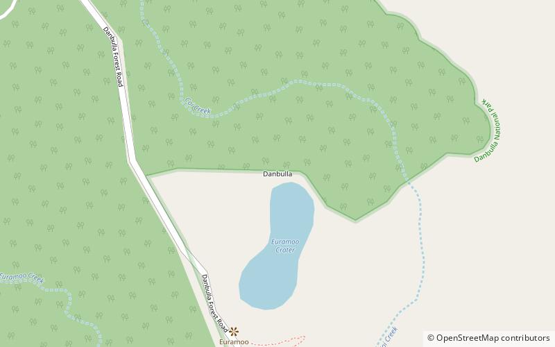
Danbulla is a locality in the Tablelands Region, Queensland, Australia. In the 2016 census, Danbulla had a population of 47 people. ()
Coordinates: 17°9'24"S, 145°37'44"E
Address
Danbulla National Park and State Forest
ContactAdd
Social media
Add
Day trips
Danbulla – popular in the area (distance from the attraction)
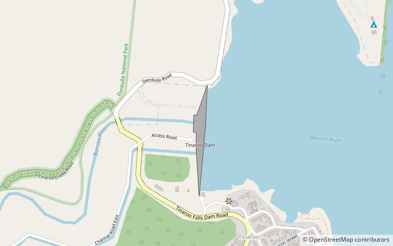
Nearby attractions include: Lake Euramoo, Tinaroo Falls, Tinaroo Dam.


